February 2020 - Intro to R Programming - Hands-On-Workshop
 |
English 🌐
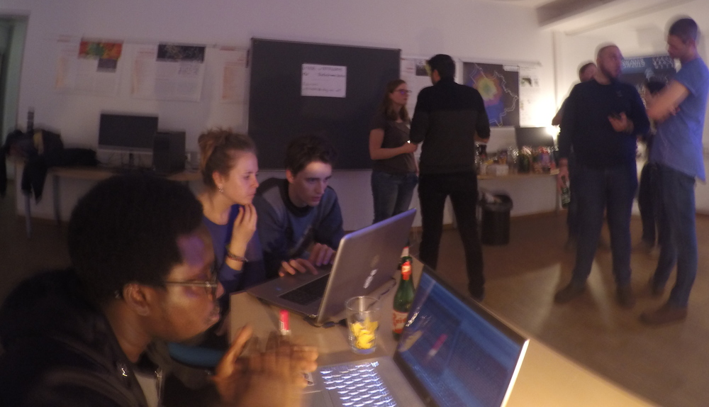
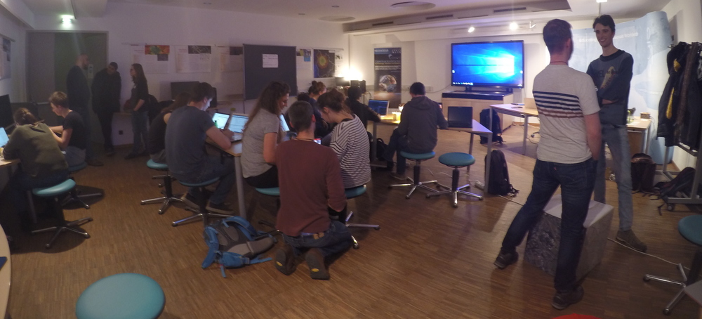
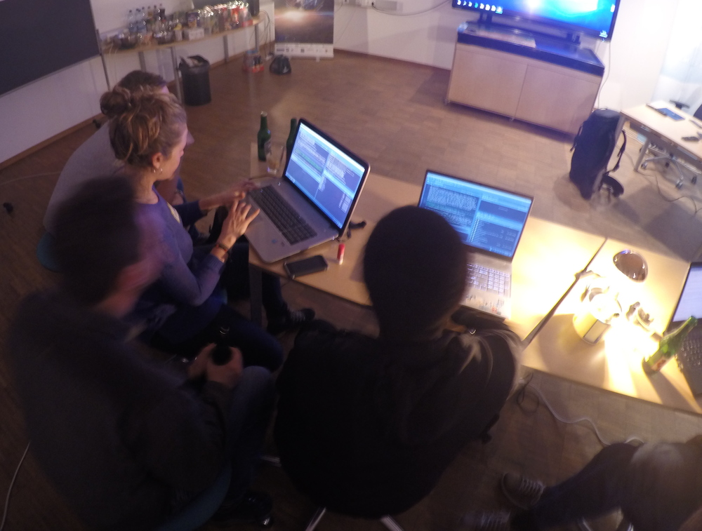
After some mapathons and social events, this time we had a more technical topic again. We were very happy that Luuk van der Meer, researcher at Z_GIS, kindly gave a short introduction to R for spatial analysis. Afterwards we had a hands-on workshop with some exercises Luuk had prepared. We learned how to load, explore and visualize spatial data in R and RStudio, and even how to create a simple interactive web map! In case you missed it, Luuk’s presentation and exercises are available on github. Thanks a lot to Luuk and to all the participants for this great event!
German 🇦🇹🇨🇭🇩🇪
Nach einigen Mapathons und geselligen Events hatten wir dieses Mal wieder ein etwas technischeres Thema auf dem Plan. Es hat uns sehr gefreut, dass wir Luuk van der Meer, Researcher bei Z_GIS gewinnen konnten, uns eine kleine Einführung in R für räumliche Analysen zu geben. Danach hatten wir einen gemeinsamen Workshop mit Übungen, die uns Luuk mitgebracht hat. Wir lernten wie man mit R und RStudio räumliche Daten lädt, erkundet und visualisiert und sogar wie man eine einfache interaktive Web Map baut! Luuks Präsentation und Übungen sind auf github verfügbar. Vielen Dank an Luuk und alle Teilnehmenden für diesen spannenden Abend!