Go for a hike|bike|ski|run and make a map
Dreaming of tacky trails.
February is around the time of year in Bend that I begin to get the itch to ride mtn bike trails and go for a hike. In fact my Garmin GPS unit has been collecting dust…
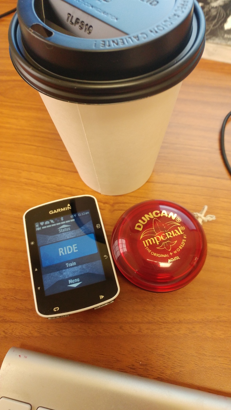
Today we will take some of your athletic pursuit data that you have collected and try to make a map using QGIS. We will focus on pulling down data from Strava and Garmin Connect since both offer a way to export GPS tracks to GPX and/or Google Earth KML format.
Pre-requisites
You will need GIS software such as Esri’s ArcGIS Pro or QGIS to make a map product. For today’s exercise we will use QGIS.
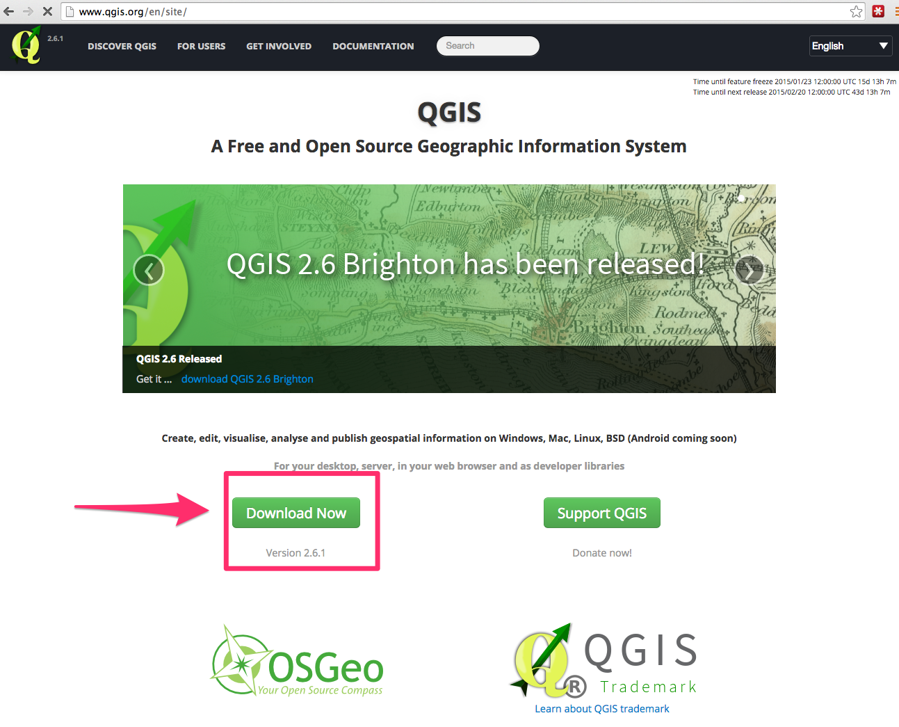
To install QGIS go to the home page and click on the “Download Now” button.
NOTE: The file download is around 500 MB.
Once you have installed QGIS you should now have a fancy new application installed under Application or Program Files that awaits your mapping needs.
Boundless QGIS Installers
As Andy pointed out in the meetup announcement, another install route is to use the Boundless’s QGIS installers. Although their release is a couple versions behind the latest QGIS build, they include everything you’ll need to get started. Their site also requires you to enter your email address, and then they’ll email you a link to the installers. For your convenience, I’ve done that already and have linked directly to the ZIP archives here:
Windows installer: Download
Mac installer: Download
Extracting Data From Strava
Strava is used primarily by cyclists and runners to track activities. I am sure for most Strava users the mapping interface works well - but since it is MAPTIME we want to make our own maps.
- Login to Strava
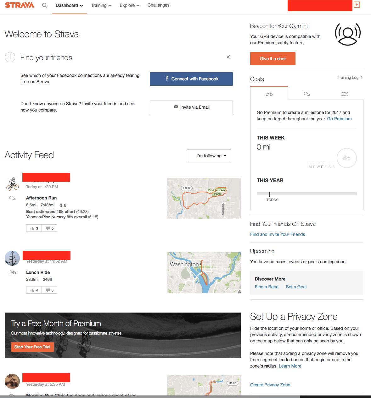
- Strava lets you bulk download data for all your activities! Go to Settings -> ‘Download your data’
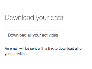
- Strava will send you an email to your account with a zip file of all your activities.
Extracting Data From Garmin Connect
For those of you using a Garmin device that is not linked to Strava, you can extract data from Garmin’s web-based system.
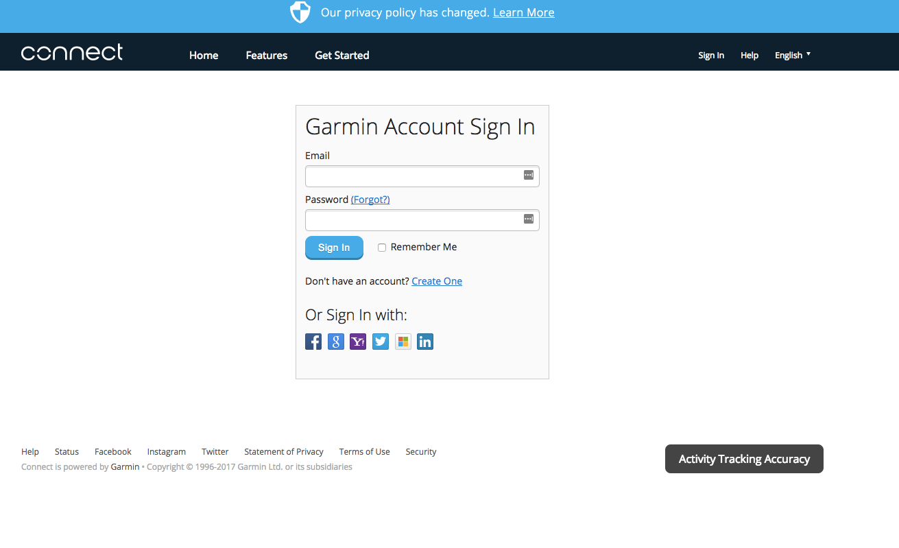
- Login to Garmin Connect
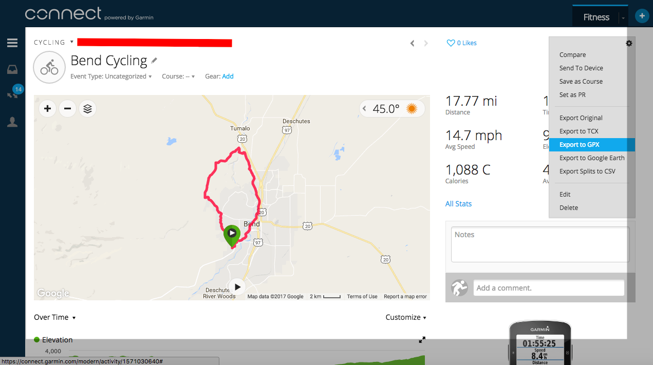
- Navigate to the activity you want to extract. Export the activity as a GPX file.
Load data into QGIS
If you have made it here, you are successful! Unzip either your Strava or Garmin data.
- Login to Garmin Connect

- Navigate to the activity you want to extract. Export the activity as a GPX file.

Add the Shapefile to QGIS
- Launch QGIS
- Click the “Add Vector Layer” button from the Data Toolbar

- Navigate to where you downloaded the City Limits shapefile and select the .shp file.
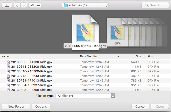
- Feel free to add tracks, waypoints, and or routes.
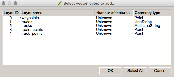
- You should see several GIS layers including points and lines.
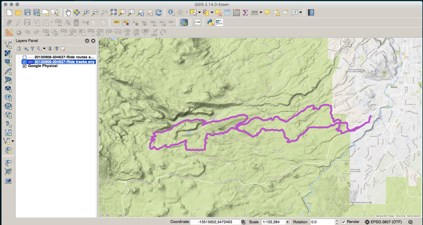
OH AWESOME! Zoom in on this data. Click the identify tool. Explore your first dataset you have added to QGIS.
Check out these awesome QGIS links and tutorials I am running time. We have been here before. You should check these links!!!
Added Bonus
Suppose you want to merge ALL of your tract data into one GIS feature (aka Shapefile)….
*Navigate to your uncompressed activities folder. (Must have gdal installed.)
for i in $( ls *.gpx ); do ogr2ogr final_gpx.shp -append $i tracks -fieldTypeToString DateTime; done
CONGRATS
We are all winners today!
