Welcome to Maptime WestSlope!
Let's map the Western Slope! Yeah, yeah... there are lots of maps out there and plenty of local government data too but the data available isn't always imported into OSM for the public to use easily.. And OSM has pretty decent detail in the region. And as we can see... things are always changing, new trails, new businesses and new roads.
The goal of this group is to introduce OpenStreetMap to the community, develop a community of mappers, create the most amazing geodata possible using whatever method we can and finally strategize in order to get this data out into our community. Imagine accurate trail signage! Imagine further development of bike paths! Imagine anything you want, that's the joy of OpenStreetMap!
Start mapping on OpenStreetMap now by signing up for free here!
Upcoming Events
Geobeers at the Goat and Clover Tavern
Hi Maptimers and Mappers!
Please join us for GeoBeers this Thursday (Sorry for the short notice!!) A representative of Humanitarian OpenStreetMap (HOT) is in Grand Junction and we decided to do a spur of the moment event.
Where: 336 Main St Grand Junction, CO 81501
When: 7pm Thursday November 30th
Why: Because we love beer, mapping, and advancing the common good!
What: Join us for a beer or two to talk about OpenStreetMap and Humanitarian Mapping, an easy and helpful way you can volunteer your time, from the comfort of your home! This is an informal event and we will mainly be disseminating information as opposed to doing a specific project.
Current Humanitarian OpenStreetMap projects include Caribbean Hurricane response, Bangladeshi Flood response, Central American Earthquake response, and many many more!
Stay tuned for our next Maptime event!
Follow our social media to stay current with the latest Maptime Westlope happenings!
@MaptimeWestCO on Twitter @wsosm on FacebookBlog Posts
Thanks for Coming Out!
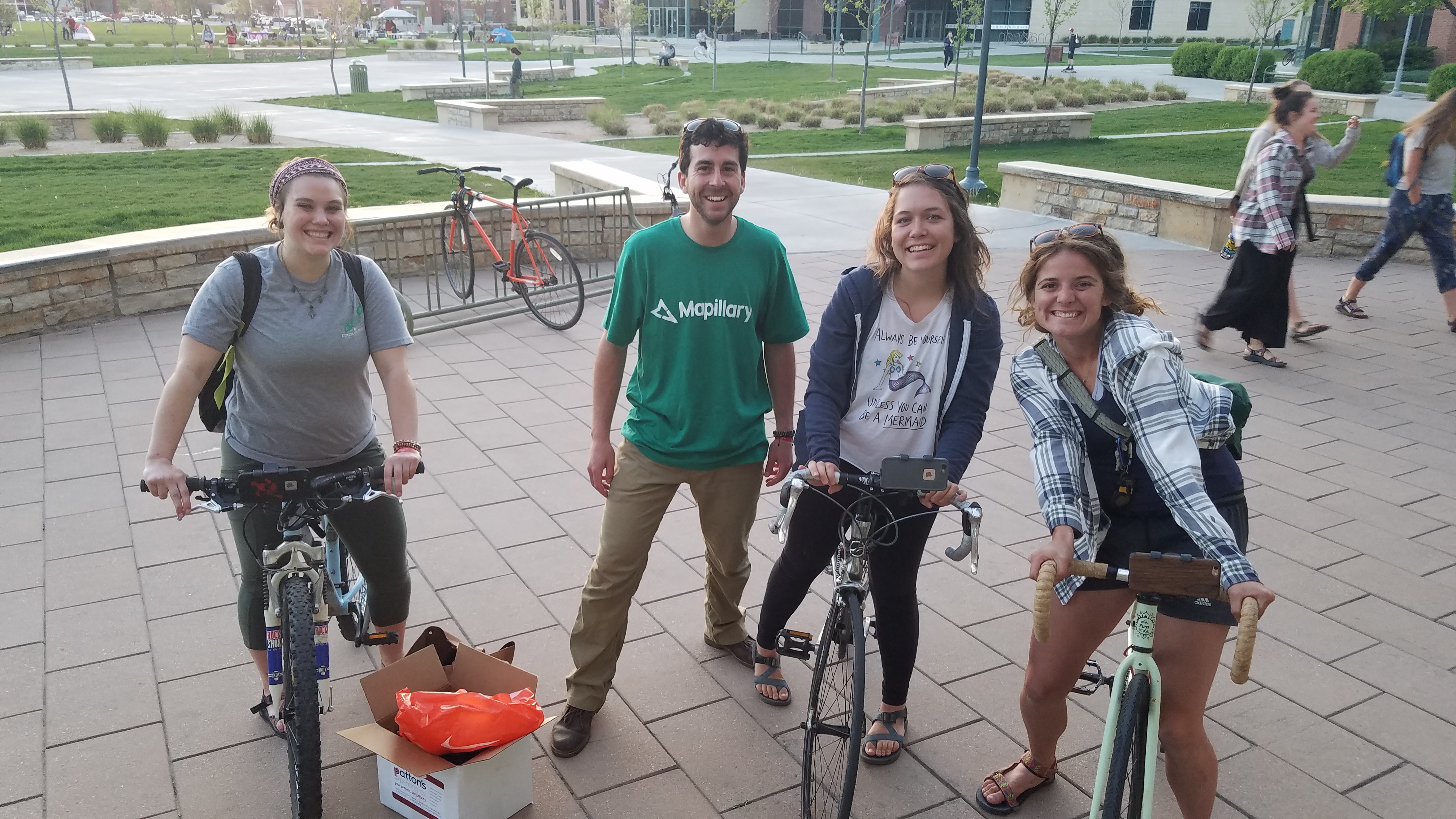
Event Recap: Maptime with Mapillary
Thanks to all who came out to #Maptime with Mapillary! We had a blast and got some new mappers on the scene! Woohoo!
Past Events
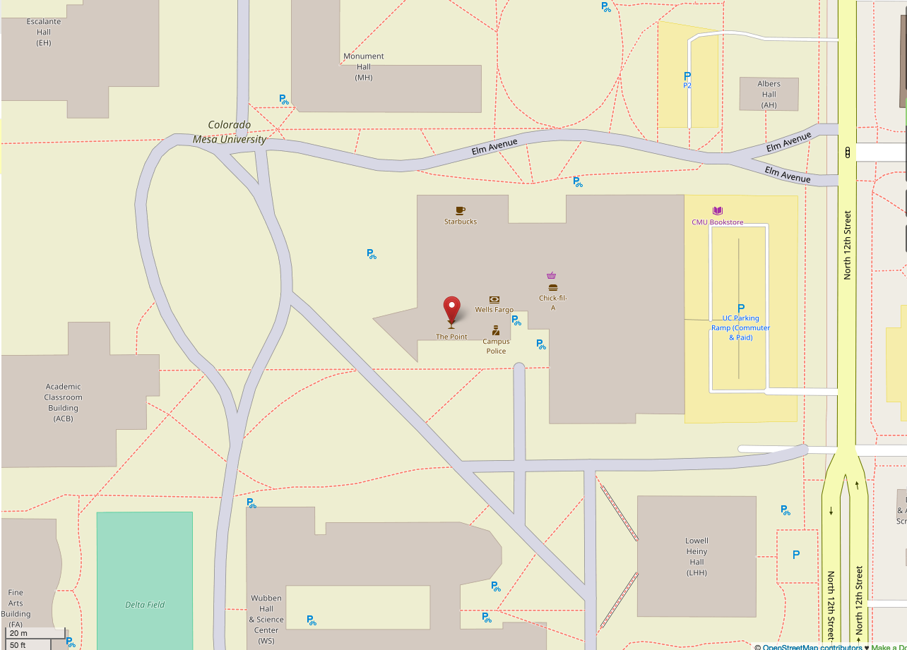
Maptime with Mapillary at the Point
Join us for another #Maptime on April 19th at The Point (1455 N 12th St, Grand Junction, CO)
We will be collecting open source street view data for Open Street Map using the app Mapillary (http://mapillary.com) All participants will receive a bike or car phone mount designed specifically for capturing street view photos with your smart phone!
Please bring a bicycle or car, download Mapillary on your phone, and create a Mapillary account prior to the event.
Join us afterwards for a beer at The Point!