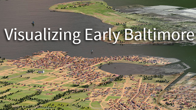
Visualizing Early Baltimore circa 1815
Date: February 13 2019
Place: UMBC Information Technology and Engineering (ITE) Building, 1000 Hilltop Rd Baltimore MD 21250
Join us as we meet with UMBC’s Imaging Research Center Professor Dan Bailey to discuss his work building a 3D map and visualization of Baltimore circa 1815. The goal of the project is to recreate Baltimore’s buildings, roads, topography, and land use from over 200 years ago! You can learn more about the project and view the current 3D map here, http://earlybaltimore.org/. We are eager to talk to Professor Bailey about how he has used GIS to build out this unique dataset and to learn how the MaptimeBmore team might be able to help moving forward. Cover photo credit: http://earlybaltimore.org/, https://www.irc.umbc.edu.
Location: UMBC IRC, Room 101 in the ITE building at UMBC. Parking: Parking should be free in Lot 8 just nearby the Performing Arts Center.
