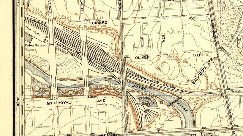
Baltimore 1896 Open Street Cars WebApp kickoff
Date: June 18 2019
Place: 4709 Harford Rd, 4709 Harford Rd Baltimore MD 21214
Join us at the Function Coworking Community space in Lauraville to start working on part 1 of our Open Street Cars webapp. We will be digitizing Baltimore’s street car lines circa 1896, into a cloud database. Come and learn how to set up a “free” PostGIS database on Amazon Web Services. Learn how to connect QGIS to the database for editing. Also in QGIS we will georeference scans of historic maps, learn how to digitize the street car lines and points of interest.
If you want to join our hack, please bring your laptop and download the software we will be using: PostgreSQL (version 10.8) https://www.postgresql.org/ https://www.enterprisedb.com/downloads/postgres-postgresql-downloads
QGIS 3.4.8 LTR: https://www.qgis.org/en/site/forusers/download.html
Contact us if you don’t have disk space for this.
At a later date, in part 2 we will learn how to make the street car network routable and display it in a Leaflet webapp.
Location: Function Coworking Community space 4709 Harford Rd Baltimore, MD 21214
It is half a block north of Moravia Ave on the east (right) side of the street, and the 2nd building south of Rosekemp Ave. Open Street Map still has the building as its previous tenant, the American Beauty Academy. It has been completely remodeled and is a very nice space.
Parking: There is ample free street parking at that time of day, the PayToPark meter period ends at 6pm. The closest bus routes are the 54 (Harford) and 28 (Harford at Moravia). Note that the 54 bus approximates the route of the old #19 streetcar.
