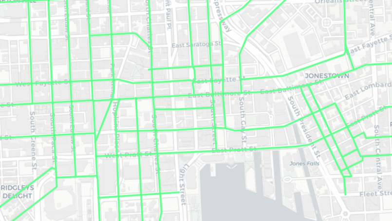
1896 Streetcar OSM etc. Hack
Date: October 23 2019
Place: 4709 Harford Rd, 4709 Harford Rd Baltimore MD 21214
Join us at the Function Coworking Community space in Lauraville to continue working on the 1896 Streetcar map, to do some OSM mapping, and for general mappy, hacky things.
The initial digitizing of the Bromley map atlas is complete: https://maptimebmore.herokuapp.com/. The next steps are to do some web map coding following the sample app we created https://github.com/maptimebmore/historical-street-car-mapping, and to plan the next features for the app.
Interested in some OSM mapping as well? That is okay too, just come on down.
We’ll provide the venue, wifi, and food. Bring a laptop if you have one, if not, I’m sure someone will be happy to share! Please bring a few dollars to contribute to the dinner fund for the night and feel free to post suggestions for food in the comments.
Location: Function Coworking Community space 4709 Harford Rd Baltimore, MD 21214
It is half a block north of Moravia Ave on the east (right) side of the street, and the 2nd building south of Rosekemp Ave. Open Street Map still has the building as its previous tenant, the American Beauty Academy. It has been completely remodeled and is a very nice space.
Parking: There is ample free street parking at that time of day, the PayToPark meter period ends at 6pm. The closest bus routes are the 54 (Harford) and 28 (Harford at Moravia). Note that the 54 bus approximates the route of the old #19 streetcar.
