September Meeting Recap
Ryan Cooper here! I just want to give a little recap of our meeting on Wednesday, September 17th.
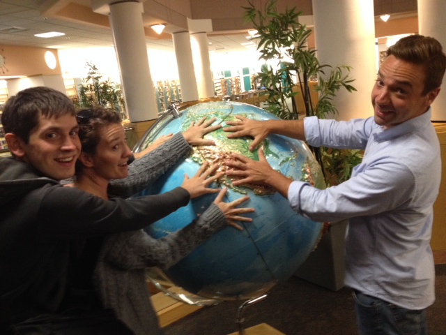
Wednesday was a big day for maptimeLEX. It was our very first meetup! I know when I officially announced the event a couple weeks ago I hoped we might have 5 - 7 people show up. Imagine my surprise when we more than doubled that projection! 15 whole people!!! It was such a joy to see that there were already so many folks acting on their curiosities about maptime and maps more generally(and hopefully thinking about how they might participate in future maptimeLEX meetups :-D).
The meetup started with a brief presentation by Dan Cockayne in which he addressed the question, “What is maptime?” In typical Dan fashion it quickly took a turn to the metaphysical when he asked, “How is maptime different from other time?” But overall, I think Dan’s introduction of the maptime ethos laid a solid foundation upon which we can build maptimeLEX. Thanks, Dan!
Next, we went around the room and did introductions. We had little clusters of people who already knew each other. There was a contingent of geographers from the University of Kentucky, another group from Photo Science (a Quantum Spatial company), and folks working in local government offices around the region. We learned a lot in that time. We learned that Eric Huntley’s favorite 90s chart-topper was Natalie Imbriglia’s “Torn.” We learned that Andy Schooner did recreational GIS in college. And the biggest surprise, we learned that Ryan Bowe loves metadata. She’s got the twitter handle to prove it!
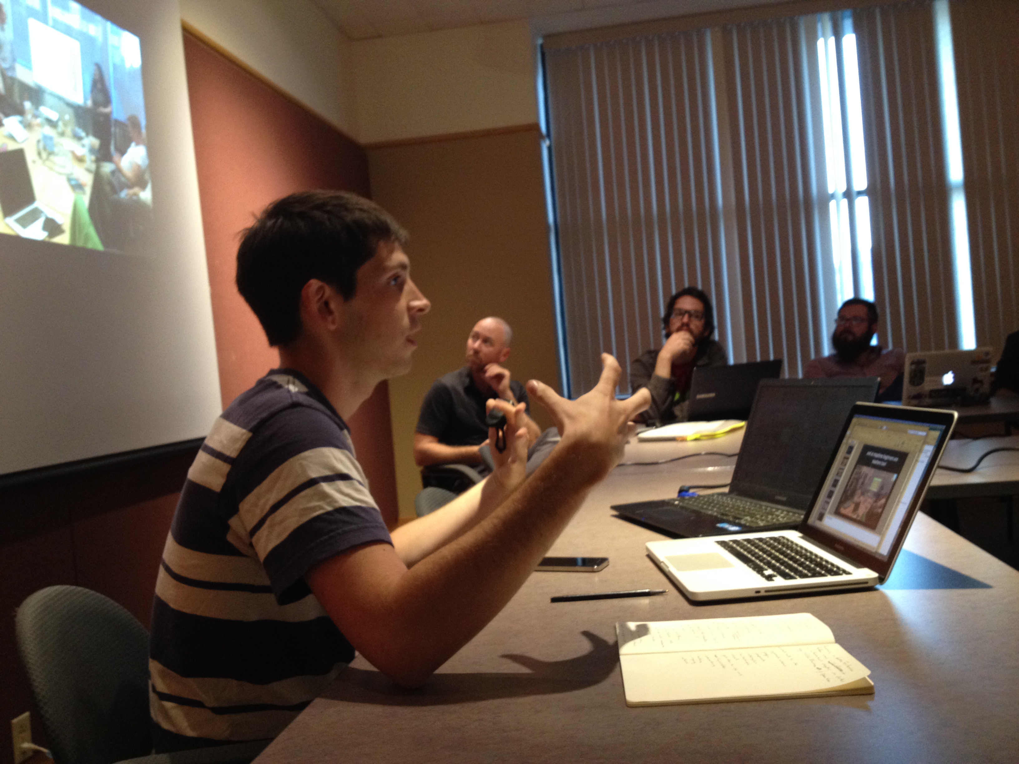
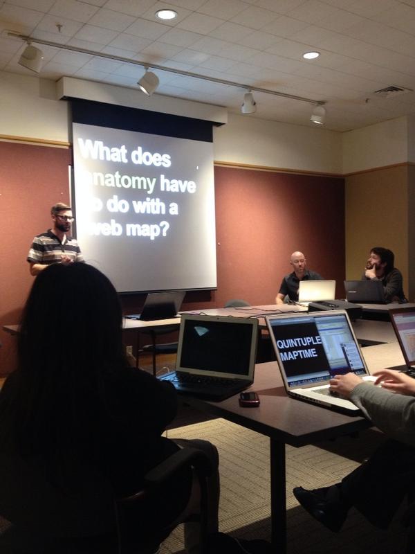
Next, I presented “Anatomy of a Webmap” - Alan McConchie & Beth Schechter (feat. Lyzi Diamond). While I tried to guide us through that presentation, it was wonderful that we had so much group participation. We got to carry out the maptime practice of collaborative learning, particularly in spots where my familiarity with the finer points of webmap anatomy was wanting. And we had some great questions too! Perhaps most memorable was Matt Wilson asking “What is the political economy of geoJSON?” Thankfully there were some folks in attendance who knew what that question meant!
We wrapped up the meeting with about 10 minutes of brainstorming of potential topics, considerations, and meeting styles for future. There was also discussion of creating a Google Group for general maptimeLEX discussion and perhaps also leveraging GitHub issues because reasons (Mike Dillion knows what they are!).
At the very end, I believe it was who Ryan Bowe asked the most important question: “When is the next meeting?” We agreed for the time being we would only meet once a month and then increase the regularity once we could see that interest and demand were sufficient to justify more frequent meetups. We set a tentative date for Wednesday, October 15th. Dan mentioned that while the library seemed to work, we might check some other venues. Nick Such suggested that we might be able to meet at Awesome Inc. so long as there weren’t any other events scheduled for whatever evening we decide on. The date, time, and location for our next meeting are still TBD, but we’ll be working to get that solidified in the coming days.
And thus came to an end the first meeting of maptimeLEX. Again, I’m so thankful to everyone who came out, participated, and helped get this whole thing started. We’re definitely looking forward to what maptimeLEX will become as we do this thing more and more.