July 2020 - Stammtisch
German 🇦🇹🇨🇭🇩🇪
(English 🌐 version below … )
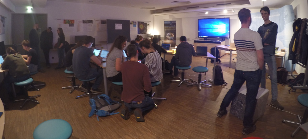
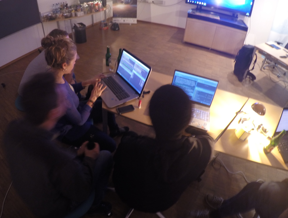
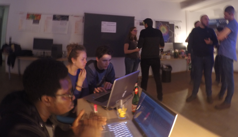
Zum ersten mal seit COVID-19, würden wir gerne ein Stammtisch veranstalten, aber draussen, so wir uns an “social distancing” besser halten können. “Bring your own beverage” BYOB 🍻 und Essen. Wir werden auch grillen, wenn ihr Essen zum grillen mitbringt!
Datum: 08 Juli 2020
Zeit: 18:00
Ort: Techno_Z, Grillplatz
Bei Fragen könnt Ihr uns gerne schreiben: maptime.salzburg@gmail.com.
Jede*r ist herzlich willkommen!
English 🌐
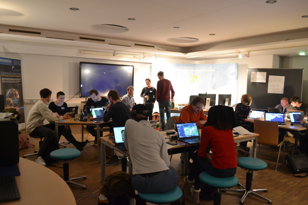
Time for an informal, but socially distanced get together to celebrate the coming of warm weather. “Bring your own beverage” BYOB 🍻 and food. A grill will be provided, and we will do our best to uphold social distancing.
Date: 08 July 2020
Time: 18:00
Place: Techno_Z,Grills
Please feel free to contact us if you have any questions: maptime.salzburg@gmail.com.
Everyone is welcome!
April 2020 - OpenData (POSTPONED)
Due to the current developments of Covid-19, our next event will be postponed to the near feature. Thanks for your understanding.
German 🇦🇹🇨🇭🇩🇪
(English 🌐 version below … )
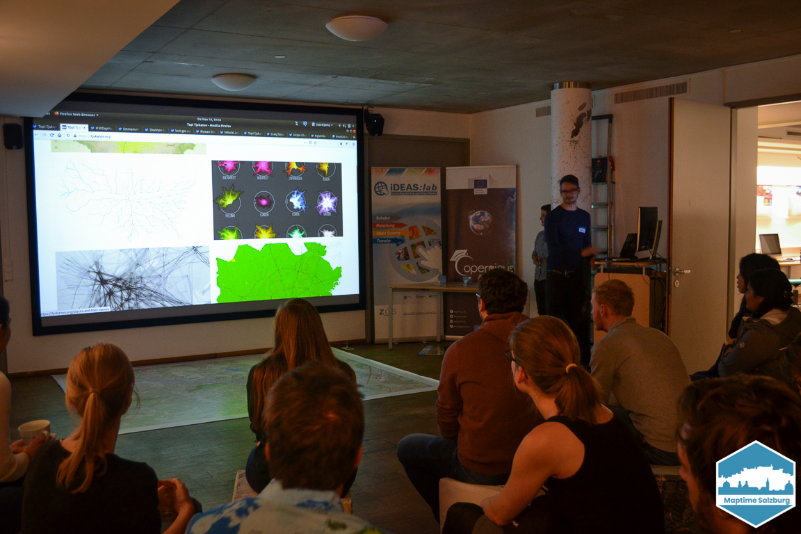
Zum ersten Mal findet Maptime Salzburg im geographischen Institut in der NaWi statt. Zu diesem Anlass wollen wir in ein Thema einführen das fast jeden betrifft und zu dem man keine Programmierkenntnisse benötigt. Es geht um Open Data. Es wird 2-3 Vorträge über verschiedene Arten von Open Data geben, alles unterlegt mit vielen Beispielen und Praxisanwendungen. Im Anschluss gibt es die Möglichkeit sich in gemütlicher Runde auszutauschen. Für Getränke und Snacks ist gesorgt 🍻
Datum: ????
Zeit: 19:00 Uhr
Ort: Geographisches Institut, Naturwissenschaftliche Fakultät(NaWi), Universität Salzburg, Hellbrunnerstrasse 34
Bei Fragen könnt Ihr uns gerne schreiben: maptime.salzburg@gmail.com.
Jede*r ist herzlich willkommen!
English 🌐
For the first time Maptime Salzburg takes place in the geographical institute in the NaWi. On this occasion we want to introduce a topic that concerns almost everybody and does not require any programming knowledge. It is about Open Data. There will be 2-3 lectures about different types of Open Data, all with many examples and practical applications. Afterwards there will be the opportunity to exchange ideas in a relaxed atmosphere. Drinks and snacks will be provided 🍻
Date: ????
Time: 19:00
Place: Institute of Geography, Naturwissenschaftliche Fakultät(NaWi), Salzburg University, Hellbrunnerstrasse 34
Please feel free to contact us if you have any questions: maptime.salzburg@gmail.com.
Everyone is welcome! (Translated with www.DeepL.com/Translator)
February 2020 - Intro to R Programming - Hands-On-Workshop
 |
 |
English 🌐
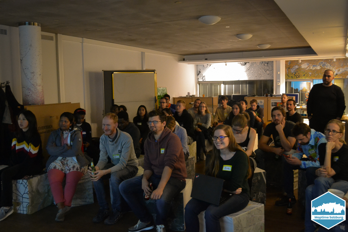
After some mapathons and social events, this time we had a more technical topic again. We were very happy that Luuk van der Meer, researcher at Z_GIS, kindly gave a short introduction to R for spatial analysis. Afterwards we had a hands-on workshop with some exercises Luuk had prepared. We learned how to load, explore and visualize spatial data in R and RStudio, and even how to create a simple interactive web map! In case you missed it, Luuk’s presentation and exercises are available on github. Thanks a lot to Luuk and to all the participants for this great event!
German 🇦🇹🇨🇭🇩🇪
Nach einigen Mapathons und geselligen Events hatten wir dieses Mal wieder ein etwas technischeres Thema auf dem Plan. Es hat uns sehr gefreut, dass wir Luuk van der Meer, Researcher bei Z_GIS gewinnen konnten, uns eine kleine Einführung in R für räumliche Analysen zu geben. Danach hatten wir einen gemeinsamen Workshop mit Übungen, die uns Luuk mitgebracht hat. Wir lernten wie man mit R und RStudio räumliche Daten lädt, erkundet und visualisiert und sogar wie man eine einfache interaktive Web Map baut! Luuks Präsentation und Übungen sind auf github verfügbar. Vielen Dank an Luuk und alle Teilnehmenden für diesen spannenden Abend!
January 2020 - Mapathon
German 🇦🇹🇨🇭🇩🇪
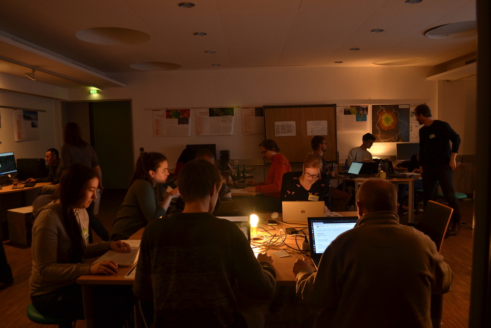
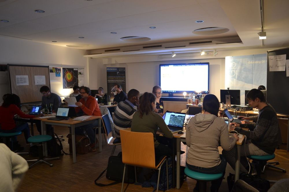
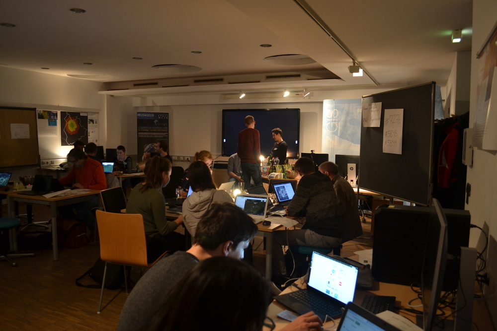
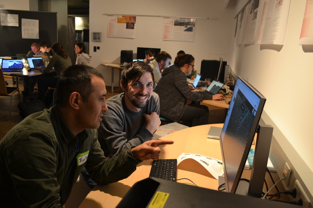
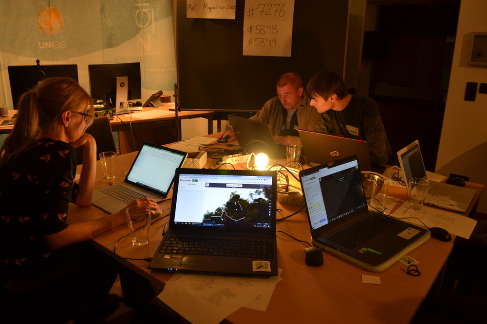
Unser Mapathon im Januar war gut besucht. Sowohl absolute Neulinge als auch erfahrene Craftmapper haben gemeinsam an verschiedenen Tasks gemappt.
English 🌐
Our Mapathon in January had many participants. Both newcomers and experienced craftmappers work together on several tasks.
December 2019 - Arts, crafts and not-so-craft-beer
German 🇦🇹🇨🇭🇩🇪
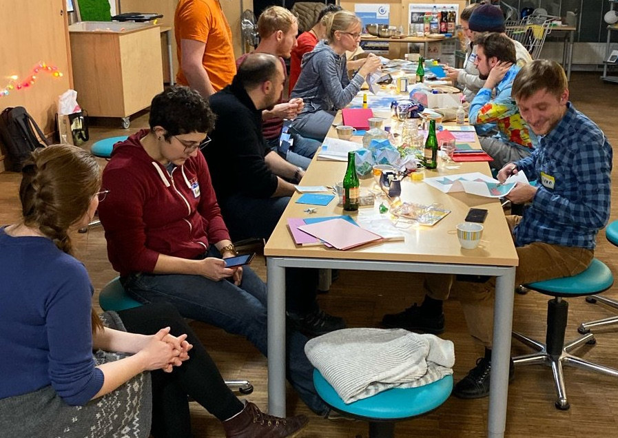
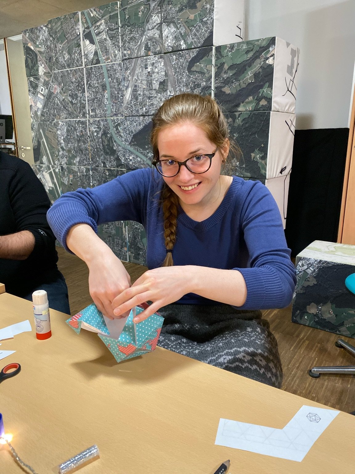
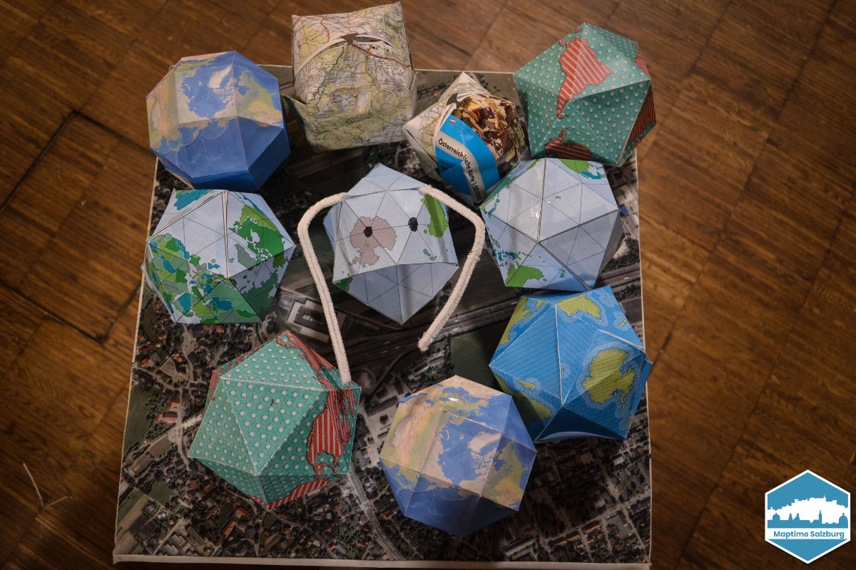
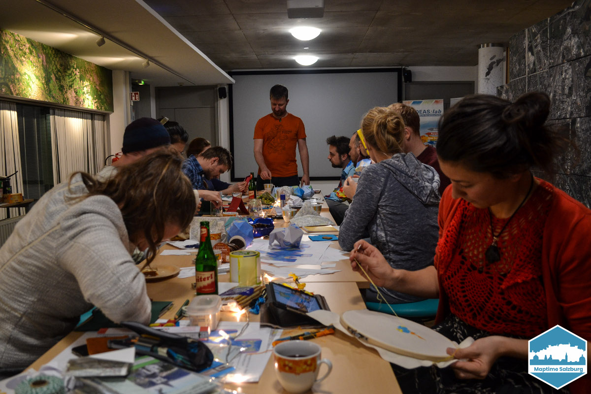
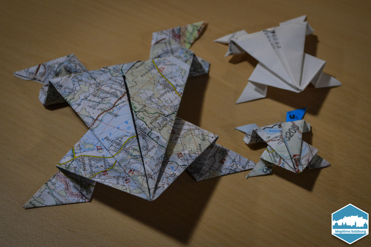
Im Dezember hatten wir einen lustigen Bastelabend mit Geo-Bezug. Im Vorfeld haben wir Papier-Globen zum Falten ausgedruckt. Diese gibt unter diesen Links: jamaps.github.io, https://adventuresinmapping.com oder auf https://mapscaping.com/pages/folding-paper-globes.
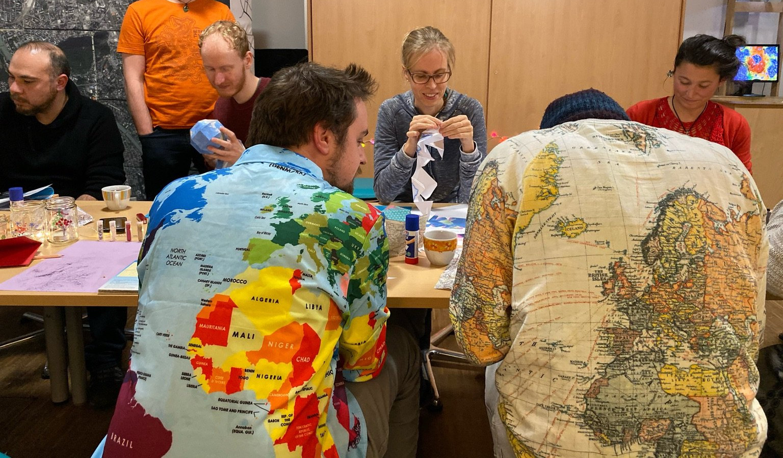
Außerdem haben wir alten Landkarten gespendet bekommen aus denen wir Weihnachtskarten und allerlei Verzierungen gebastelt haben. Für die Weihnachtsstimmung gab es leckeren Glühewein, Plätzchen, Kekse und eine Playlist mit Weihnachtsliedern.
English 🌐
In December we had a funny geo-related art&craft evening. In the run-up we printed out paper globes for folding. You can find them under these links: jamaps.github.io, https://adventuresinmapping.com or on https://mapscaping.com/pages/folding-paper-globes.
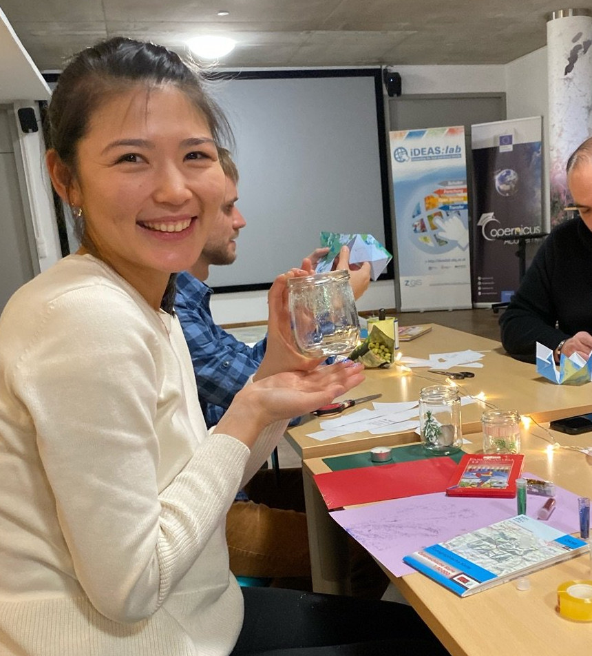
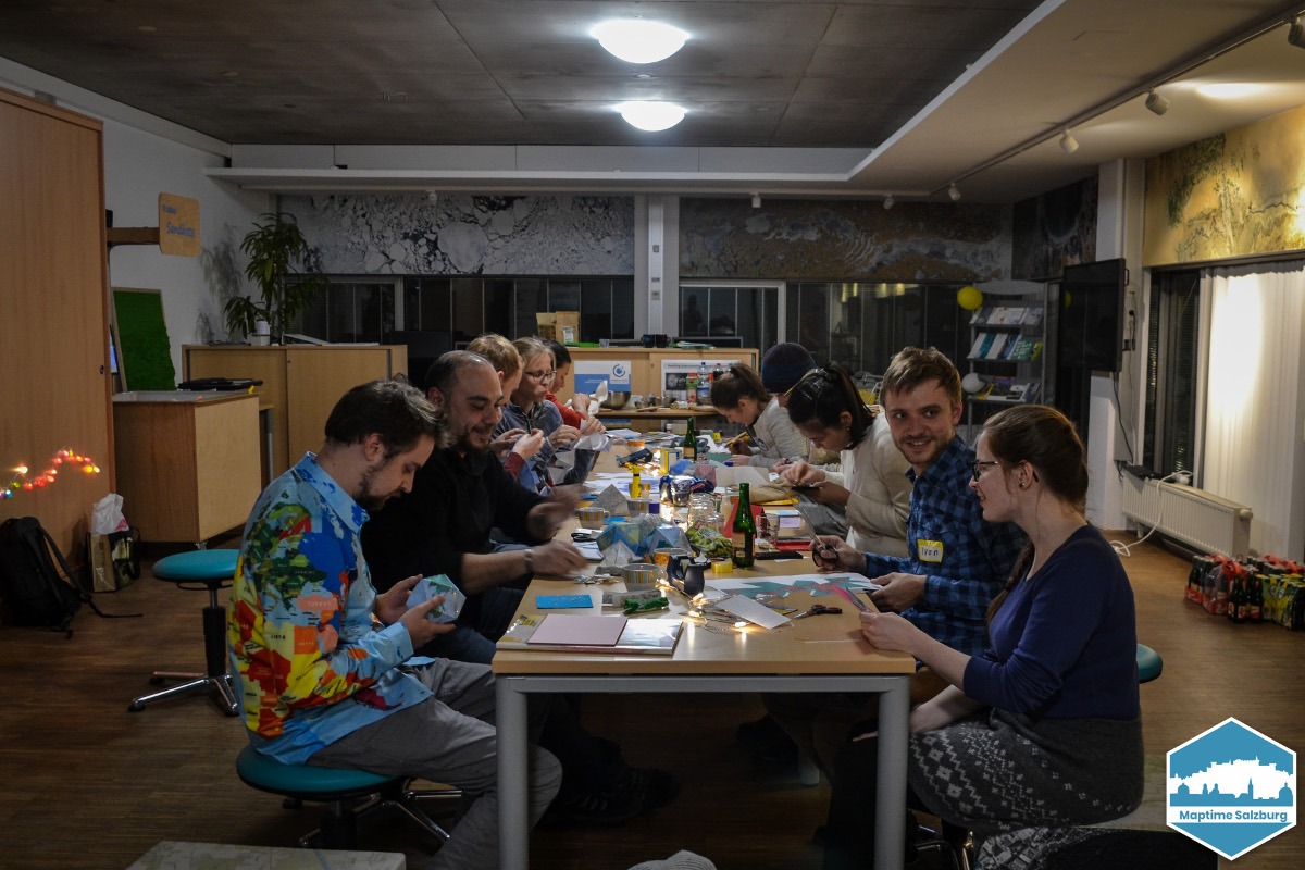
We also got old maps donated from which we made Christmas cards and all kinds of decorations. For the Christmas mood we had delicious mulled wine, cookies, biscuits and a playlist with Christmas carols.
(Text was orignally written in German and translated with www.DeepL.com/Translator (free version))
