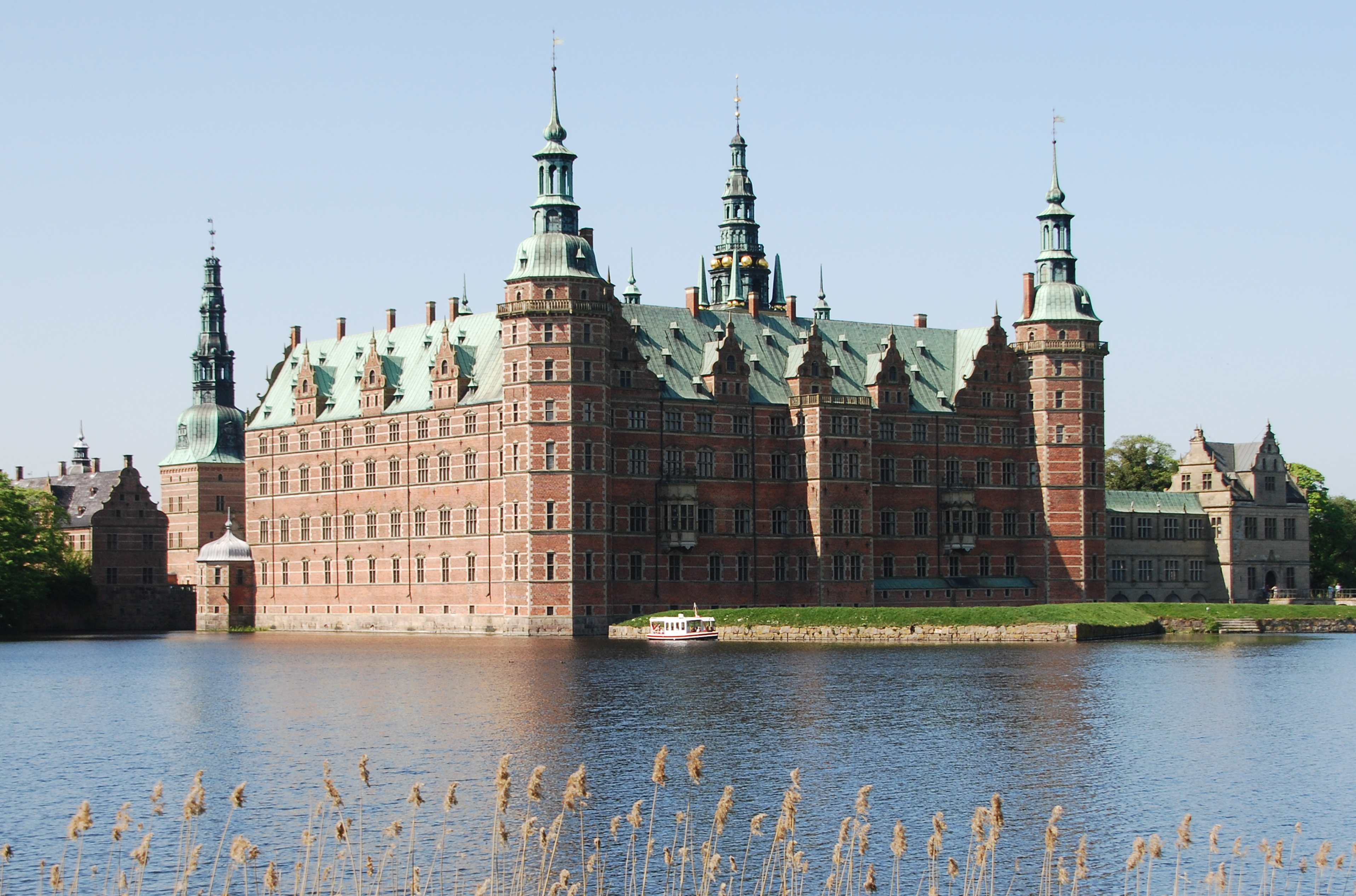
Join the first mapping event under the Maptime Copenhagen chapter. We will be using Mapillary to gather POI information that we will then be inputting into OpenStreetMap (OSM). We will also be creating a visual representation of Frederiksborg Castle that will get better and better with the more contributors that take part.
This event is open to everyone. All that you need to attend is a smartphone with Mapillary installed or an action camera with GPS. We will spend the first hour or so gathering images with Mapillary and then head to Hillerød’s main library to upload and edit POI information in the area.
The agenda is flexible so if you have ideas, get involved with Maptime Copenhagen and we can create a fun environment to get new people involved with OSM and GIS.
If you love mapping, taking photos and or history, sign up for the event and we look forward to mapping with you on 19th September.
Maptime Copenhagen
Welcome to the Copenhagen Maptime chapter, Denmark’s first!
Maptime was an idea that came to life at the 2013 State of the Map US conference with the underlying premise to get more people involved with OpenStreetMap (OSM). Maptime Copenhagen aims to bring this idea to Denmark and introduce new people to mapping in a fun, open environment. We will be holding events at exciting locations in Greater Copenhagen using Mapillary and other tools to gather detailed information on the selected area.
Whether you are a dedicated OSM contributor with thousands of edits under your belt, a Mapillary champion or brand new to the world of mapping, all are welcome. Stay tuned…more from us soon!