October Meeting Recap
maptimeLEX had its second official meetup on Wednesday, October 15th at Awesome Inc. Before talking about our meetup I just want to give them a a huge thanks to Awesome Inc for donating the space. If you want to learn about Awesome Inc and the cool things they’re doing to in Kentucky to get kids coding and fostering the development of startups, check them out.

We had another solid showing of 14 this time around. We were also psyched to be a part of a #sextuplemaptime turned #septuplemaptime.
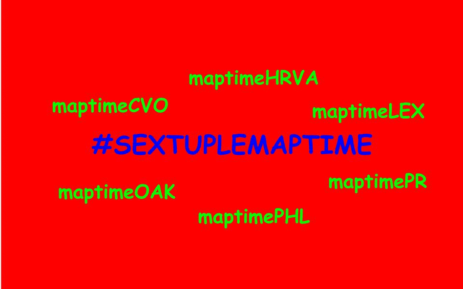
Sorry we missed the memo, maptimeBoulder!
CartoDB Tutorial
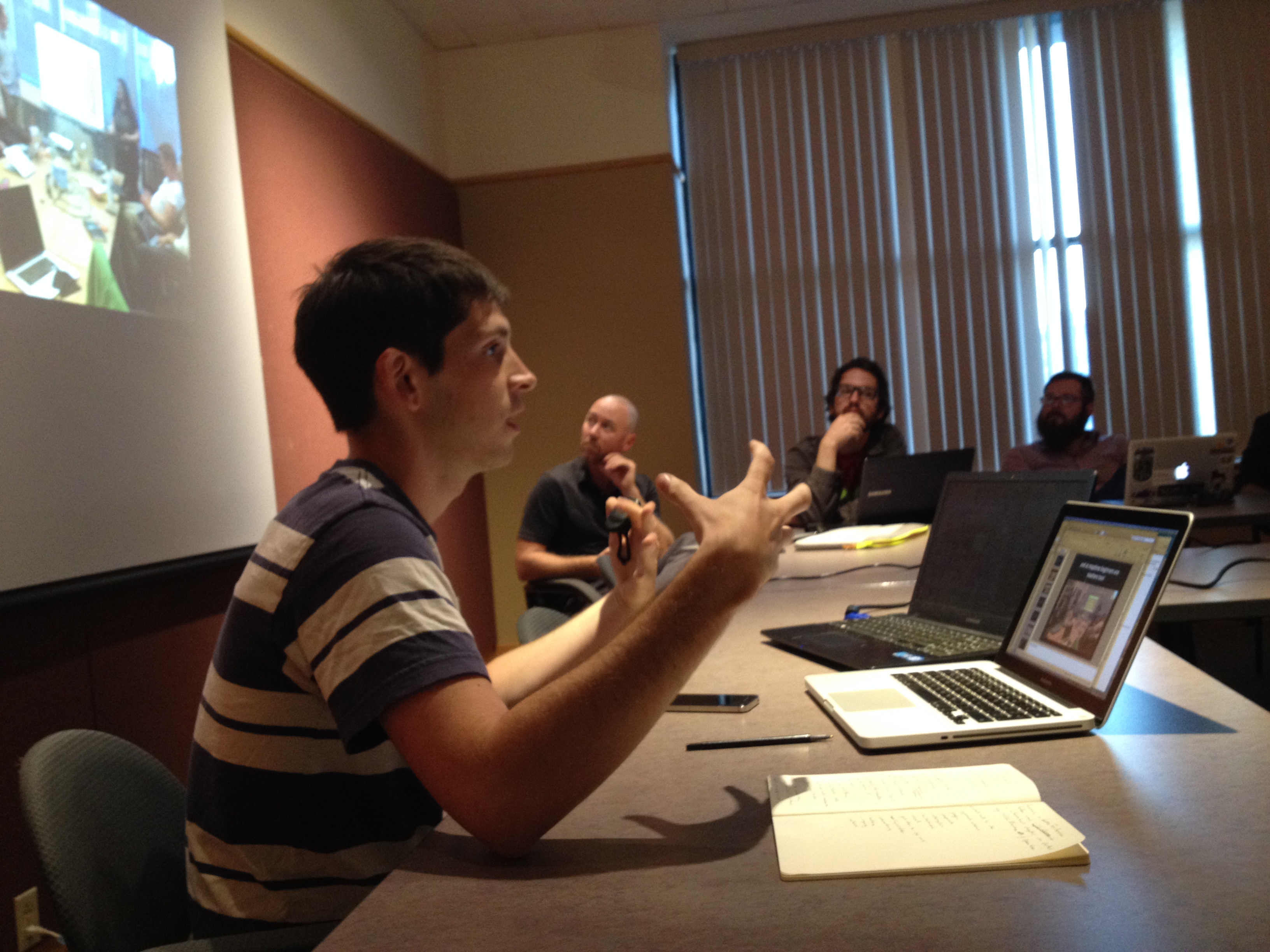
Our October meetup was split into two halves. For the first part I introduced CartoDB using Chris Henrick’s (of maptimeNYC) tutorial. It’s not only a really great walk-through of some of the capabilities of CartoDB as a platform, but also the practicality of the examples seemed to get folks asking spatial questions beyond those in the tutorial. It was clear that there was some interest in the myriad capabilities of PostGIS that underlie CartoDB. Indeed, that’s a topic for a future maptimeLEX!
After walking through the CartoDB tutorial, the remaining maptimers (a few had to leave early) grouped up for some collaborative mapping to try and get their hands dirty with the tool they’d just learned. The collaborative mapping time was loosely based on FloatingSheep.org’s IronSheep mapping competition. Held concurrently with the annual Association of American Geographers conference, IronSheep essentially consists of a thematic pool of geotagged Twitter data, some sort of prompt, and groups of people who have likely neither worked together, nor have the same skill sets. Over a a few short hours each group is meant to create an interesting map (or set of maps) that address the year’s theme. While this kind of event often times results in patently absurd cartographic productions, the format worked well for our meetup because it forced people to just try and make something, anything. So with all that explaining of why we did this type of collaborative mapping, let’s see some results.
Collaborative Mapping Activity
Collaborative Mapping Prompt
Kentucky Proud, the state organization tasked with promoting Kentucky-made products paid millions of dollars to a consulting firm to put together a marketing plan to promote fear-based tourism. After a year of work, the agency came up with a genius plan:
Kentucky Scared: In a Boograss State of Mind.
But after getting paid for coming up with the marketing slogan, the agency folded up shop and went for a cocaine fueled binge on a yacht somewhere in the Gulf and never returned. Left without anything but a crappy riff on their existing brand name, maptimeLEX was approached by Kentucky Proud to create some maps to help promote scary tourism in the Bluegrass.
Collaborative Mapping Data
All groups had access to a variety of data sets to get them started. Some were your typical base reference data (counties, state outline, etc.), but I also included some datasets somewhat related to the fear theme. All the data can be accessed here.
Collaborative Mapping Results
We had two groups of three and one group of four. Each had about an hour to work together, brainstorm ideas and make some maps. I’ll be the first to admit that maybe this was not enough time for it to be a truly group effort in terms of a single final map, but working in groups did allow for people to bounce questions off one another. In that way I think it was a success! Also, maps were made! Here they are (I’ve included links to the maps on CartoDB as well as our website’s page width doesn’t do them all justice):
Jessi Breen and her group submitted this map of ghost sightings per county. This was probably the most advanced map as the original ghost sightings count data were at the town/city scale. They used the spatial join technique to aggregate to the county level. Good job, group!
Kenny Stancil and his group created a frightening map of graveyard intensity. We all noted how interesting it was that Lexington seemed bereft of graveyards. I noted that the data were from OSM and there’s a distinction between tags and geometry for graveyards and cemeteries. At any rate, the map really captures the fire and brimstone landscape of Kentucky’s underworld!
We actually got two maps out of my group, not to brag. One group member, who chose to remain nameless, created this map of bike trails in Lexington with spooky Halloween colors. It serves as a stark reminder to drivers of the ever-present dangers they face by encroaching bicyclism. Scary stuff!
The other map out of our group was this BigBroLex map. OK, I made it, but the group supported me. Anyway, it is a map of the traffic cameras in Lexington, always there to remind you of the state’s surveillance. We are made panoptical zombies by the ever-possibly watchful eyes in the sky.
With the late submission, Andy Schooner gave us this great Colonel Sanders laying in state map. Personally, I love the stained glass aesthetic for the county fill. There’s an eery somberness to it. I was moved.
Closing Remarks
So that was the maptimeLEX that was. We’re shooting to meet Wednesday, November 19th for our next meetup. Jessi Breen is going to be teaching us how to get up and running with postegres and PostGIS. We’re solidfying some last details and will have everything posted as soon as possible. Be on the lookout! Until then, happy mapping!
maptimeLEX October 2014 Meetup
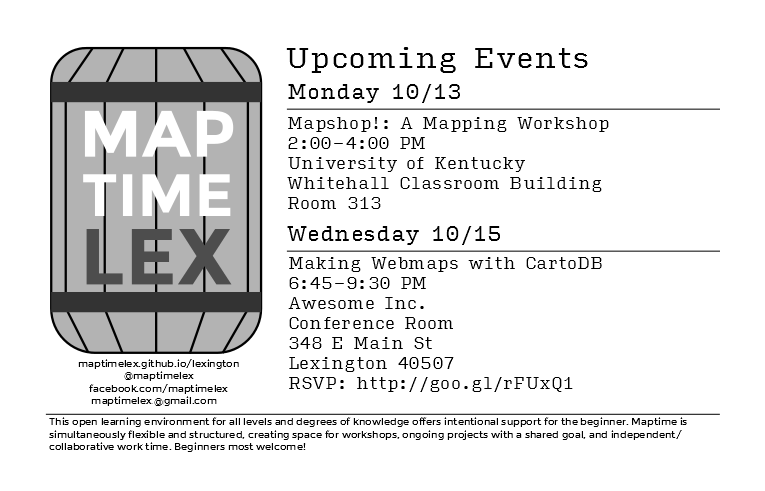
It’s time for the second meeting of maptimeLEX. Last month’s meetup downtown at the Lexington Public Library was a wonderful time. This month, we’ll be moving a little bit east on Main Street to Awesome Inc’s headquarters. Like last time, we’ll begin in the conference room at 6:45.
We’ll begin with a walk-thru of a cool web mapping platform called CartoDB. With our newly minted web mapping skills, we’re going to engage in some fun group mapping modeled after the IronSheep competition developed by FloatingSheep. Within groups of 2-3, we’ll work to produce creative web maps in the spirit of the Halloween season. maptimeLEX will provide some data to get you going, but feel free to bring your own along with you if you’d like! We’ll come back together at the end for lightning talks during which each group will have just a short amount of time to present their map. It should be a magnificent macabre mapping menagerie!
A couple of things to make sure you can have the best experience at this meetup:
- Space is limited so make sure you RSVP on Eventbrite.
- You’ll want to sign up for a free CartoDB account. They have a pretty generous free plan that will be more than sufficient for what we’ll be doing.
- Bring a laptop. If you don’t have access to one, let us know (maptimelex@gmail.com) and we’ll be happy to work with you to get a hold of one for the evening.
The Essentials
- When: Wednesday, October 15th, 6:45 - 9:30 PM
- Where: Awesome Inc, 348 E Main St, Lexington, Kentucky 40507
- What: CartoDB and frightening mapping fun

- Who: Anyone with an interest in maps. All skill levels and backgrounds welcome!
maptimeLEX at the October Night Market
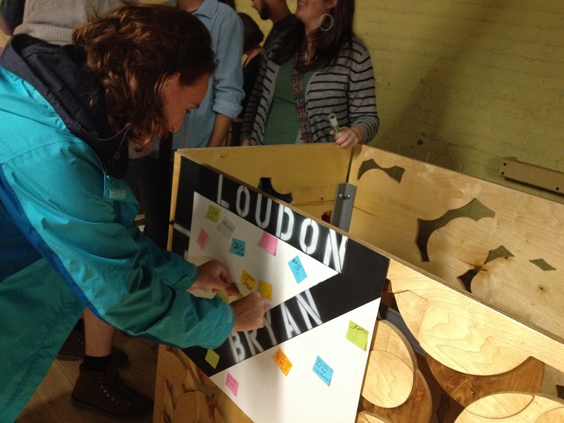
After a month away, maptimeLEX made its second appearance at the Night Market.For those who may not know, Night Market is a cool event in Lexington put on by the NoLi CDC that occurs on the 1st Friday of each month. Usually it takes place outdoors on Bryan Ave between N Limestone and Loudon, but because of the rain, the event was relocated to the Plantory in the Breadbox at W 6th and Jefferson. Kudos to Haley Perros (NoLi CDC) and the Plantory for making a less than ideal situation work out!
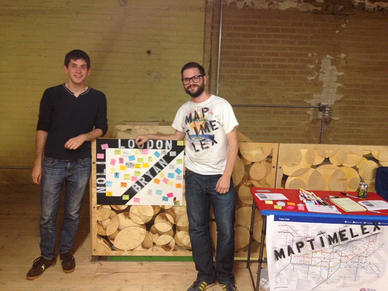
Dan Cockayne and I manned the booth for the evening. We had a good amount of people inquiring about what we do and garnered the interest of folks from a wide range of backgrounds. We collected 10 signatures from artists, architects, geographers, tshirt designers and more! Even if some of the people we talked to didn’t join our mailing list, there was a generally positive response to what we’re trying to do in Lexington. In fact, we got an RSVP for our October 15th meetup during the Night Market!
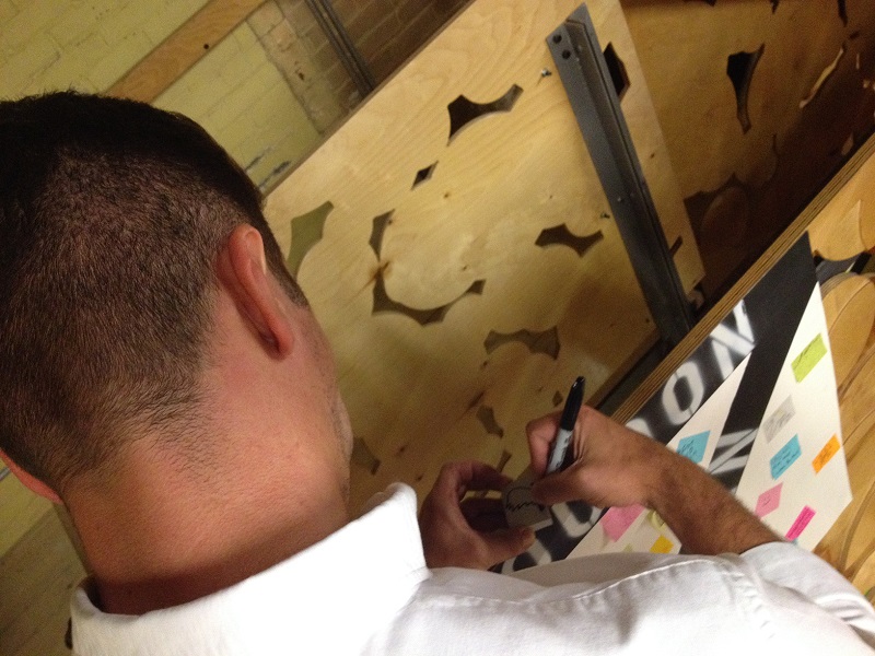
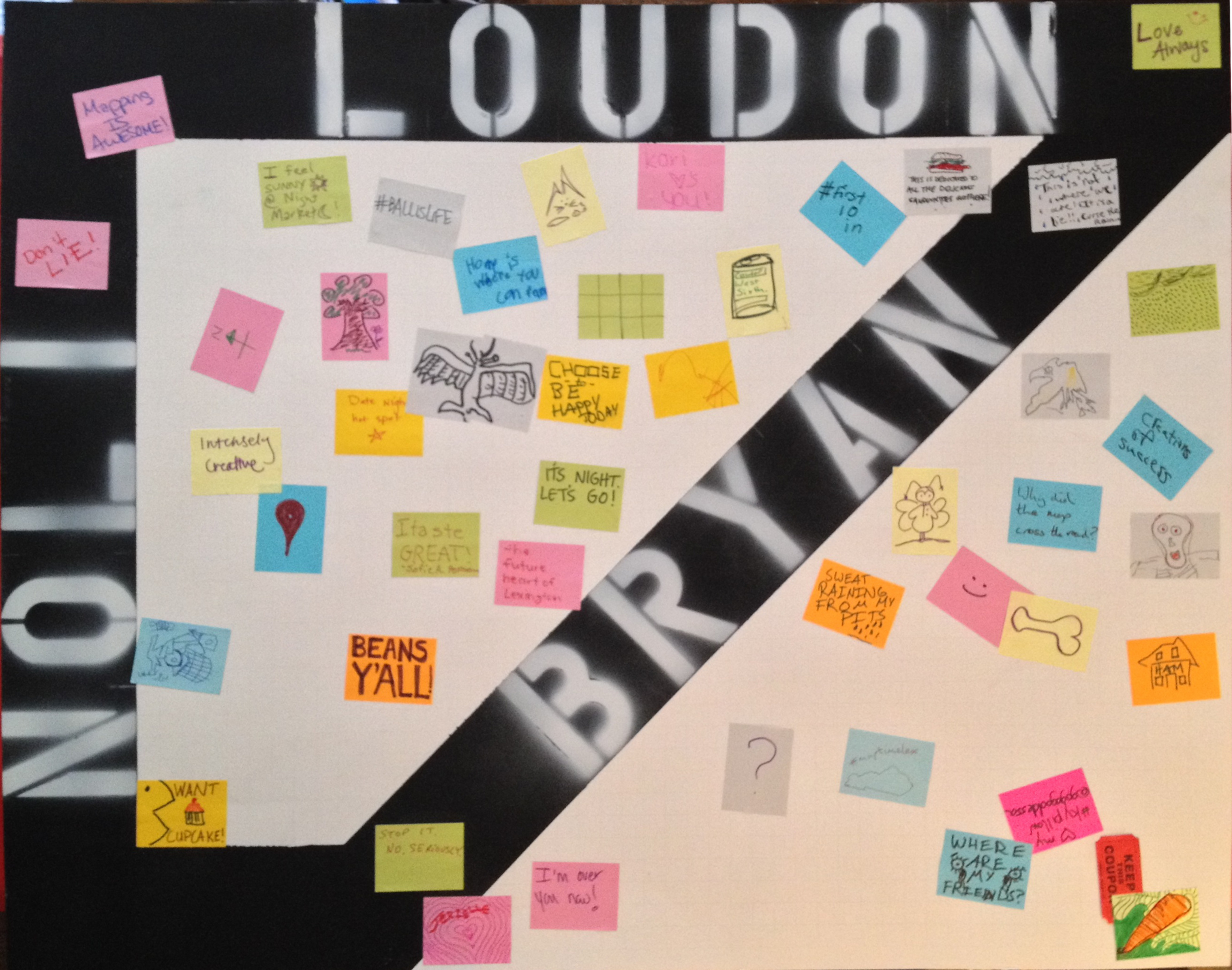
We also were able to engage several folks through a little participatory map art project we’ve started. We set up a map of the Night Market (where it usually occurs) and promted passsersby to draw or write on a little sticky note something that expressed their feeling or thoughts at that moment at the Night Market.
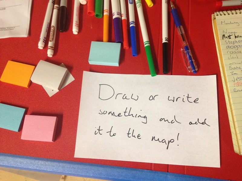
While some were reticent to participate - they didn’t think they had anything good to add - many others got into the spirit of the project, adding pictures, random thoughts, and observations expressing their current state. It was pretty fun!
We hope to continue setting this map up with different prompts and activities at each Night Market so that it will become sedimented with the various sort of experiences surrounding this monthly event. We’ll post updates as this project moves forward!
September Meeting Recap
Ryan Cooper here! I just want to give a little recap of our meeting on Wednesday, September 17th.
Wednesday was a big day for maptimeLEX. It was our very first meetup! I know when I officially announced the event a couple weeks ago I hoped we might have 5 - 7 people show up. Imagine my surprise when we more than doubled that projection! 15 whole people!!! It was such a joy to see that there were already so many folks acting on their curiosities about maptime and maps more generally(and hopefully thinking about how they might participate in future maptimeLEX meetups :-D).
The meetup started with a brief presentation by Dan Cockayne in which he addressed the question, “What is maptime?” In typical Dan fashion it quickly took a turn to the metaphysical when he asked, “How is maptime different from other time?” But overall, I think Dan’s introduction of the maptime ethos laid a solid foundation upon which we can build maptimeLEX. Thanks, Dan!
Next, we went around the room and did introductions. We had little clusters of people who already knew each other. There was a contingent of geographers from the University of Kentucky, another group from Photo Science (a Quantum Spatial company), and folks working in local government offices around the region. We learned a lot in that time. We learned that Eric Huntley’s favorite 90s chart-topper was Natalie Imbriglia’s “Torn.” We learned that Andy Schooner did recreational GIS in college. And the biggest surprise, we learned that Ryan Bowe loves metadata. She’s got the twitter handle to prove it!
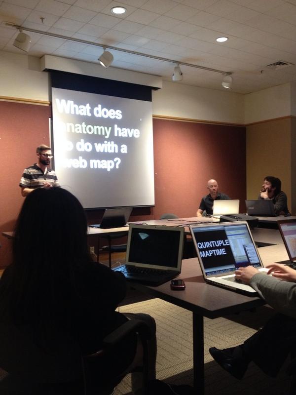
Next, I presented “Anatomy of a Webmap” - Alan McConchie & Beth Schechter (feat. Lyzi Diamond). While I tried to guide us through that presentation, it was wonderful that we had so much group participation. We got to carry out the maptime practice of collaborative learning, particularly in spots where my familiarity with the finer points of webmap anatomy was wanting. And we had some great questions too! Perhaps most memorable was Matt Wilson asking “What is the political economy of geoJSON?” Thankfully there were some folks in attendance who knew what that question meant!
We wrapped up the meeting with about 10 minutes of brainstorming of potential topics, considerations, and meeting styles for future. There was also discussion of creating a Google Group for general maptimeLEX discussion and perhaps also leveraging GitHub issues because reasons (Mike Dillion knows what they are!).
At the very end, I believe it was who Ryan Bowe asked the most important question: “When is the next meeting?” We agreed for the time being we would only meet once a month and then increase the regularity once we could see that interest and demand were sufficient to justify more frequent meetups. We set a tentative date for Wednesday, October 15th. Dan mentioned that while the library seemed to work, we might check some other venues. Nick Such suggested that we might be able to meet at Awesome Inc. so long as there weren’t any other events scheduled for whatever evening we decide on. The date, time, and location for our next meeting are still TBD, but we’ll be working to get that solidified in the coming days.
And thus came to an end the first meeting of maptimeLEX. Again, I’m so thankful to everyone who came out, participated, and helped get this whole thing started. We’re definitely looking forward to what maptimeLEX will become as we do this thing more and more.
Agenda for 9/17 Meetup
Agenda
- What is maptime? (Dan Cockayne)
- Who are you? (Everyone!)
- “Anatomy of a Web Map” (Ryan Cooper + whoever else wants to chime in)
- maptimeLEX brainstorming (Everyone!)
- ???
And just a reminder of the essentials for the meeting-
Date: 9/27/14
Time: 6:45 PM - 8:30 PM
Location:
Lexington Public Library, Central Library
Conference Room B
140 E Main St,
Lexington, Kentucky 40507