May 2019 - Mapathon
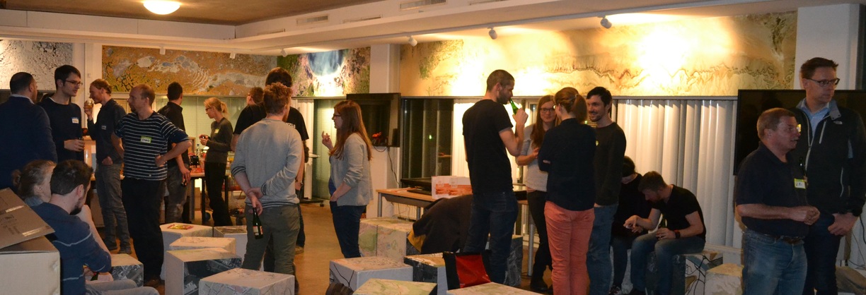
On Wednesday the 8th of May starting at 19:00 we facilitated the first Maptime Salzburg mapathon, focusing on a humanitarian mapping task in Southern Kivu (Task #5912) in collaboration with Doctors without Borders (Médecins Sans Frontières (MSF)), the Austrian Red Cross and Missing Maps. Edith Rogenhofer from MSF Vienna was kind enough to introduce the area and mapping campaign via Skype, despite some technical difficulties. Around 15 people attended the event, with 13 documented OSM mappers completing 346 task tiles during the mapathon.
We met again at the iDEAS:lab (Schillerstrasse 30, Techno-Z, Building/Bauteil XV), generously made possible by Z_GIS, including some sponsored snacks and beverages.


March 2019 - Stammtisch
On the 20th of March we had a Maptime Stammtisch! Around 30 people came. Thanks for an evening of great conversation!
date: Wednesday, 20th March 2019
time: 19:30h
place: Augustiner Bräu, Lindhofstraße 7, 5020 Salzburg
February 2019 - Jupyter
On Wednesday the 13th of February at 19:00 we facilitated Maptime presentations, focusing on interactive coding and mapping using Jupyter! We met again at the iDEAS:lab (Schillerstrasse 30, Techno-Z, Building/Bauteil XV), generously made possible by Z_GIS. Around 25-30 people participated. Our theme for this event was Jupyter. We had five presentations:
Jupyter Introduction
Pandas and Charts with Seaborn using Jupyter
by Lisi Linhart
PostgreSQL with Jupyter
Creating presentations with Jupyter
- Creating Slides with Jupyter Notebook
- Installing and Running Jupyter Notebooks on a Server
- Using Virtual Environments in Jupyter Notebook
Notebooks for interactive coding in learning materials. A quest for interactive options with bookdown.
Videos


January 2019 🗺 Maptime Stammtisch 🌍 OSM mapping
Around 20 people came to the Maptime Stammtisch on Wednesday, January 16th at Academy Bar. The OpenStreetMap(OSM) mapping activity beforehand with the Android app StreetComplete had very low attendance, but the few participants had fun walking around in the cold, damp weather anyways. :-)
We are looking forward to the next round of presentations in February to discuss ways that Jupyter can be used when working with geospatial data, maps, and more.

December 2018 - Geospatial Data Handling

Our meeting in December took place in the iDEAS:lab which was kindly provided by Z_GIS. Our theme for this event was Geospatial Data Handling. We had four presentations:
git - Efficient Versioning of Code and Text files
by Steffen Reichel - Material
GDAL - Process and Transform Raster Data
by Hannah Augustin - Slides - Material - Video
OGR - Process and Transform Vector Data
by Nikolai Janakiev - Slides - Video
PostGIS - Store and Process Geodata in a Relational Database
by Andreas Petutschnig - Slides - Video