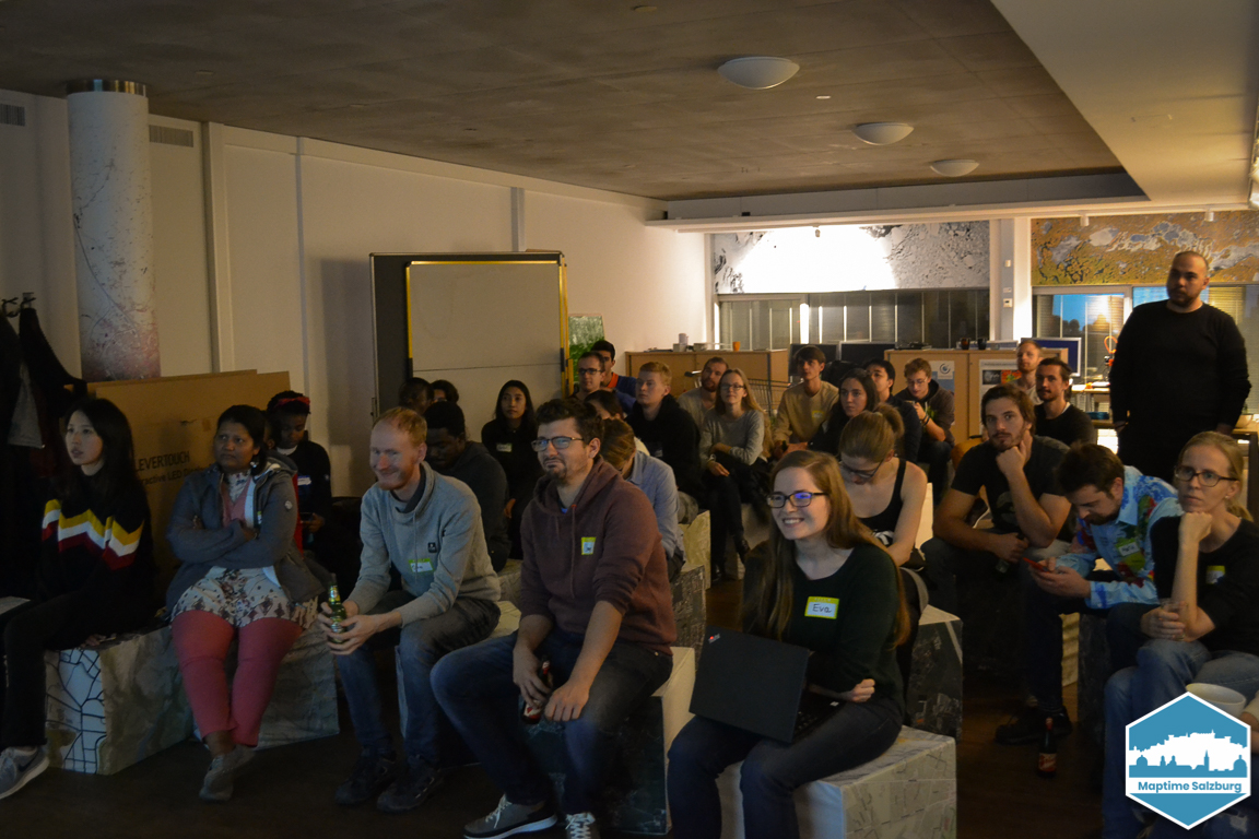
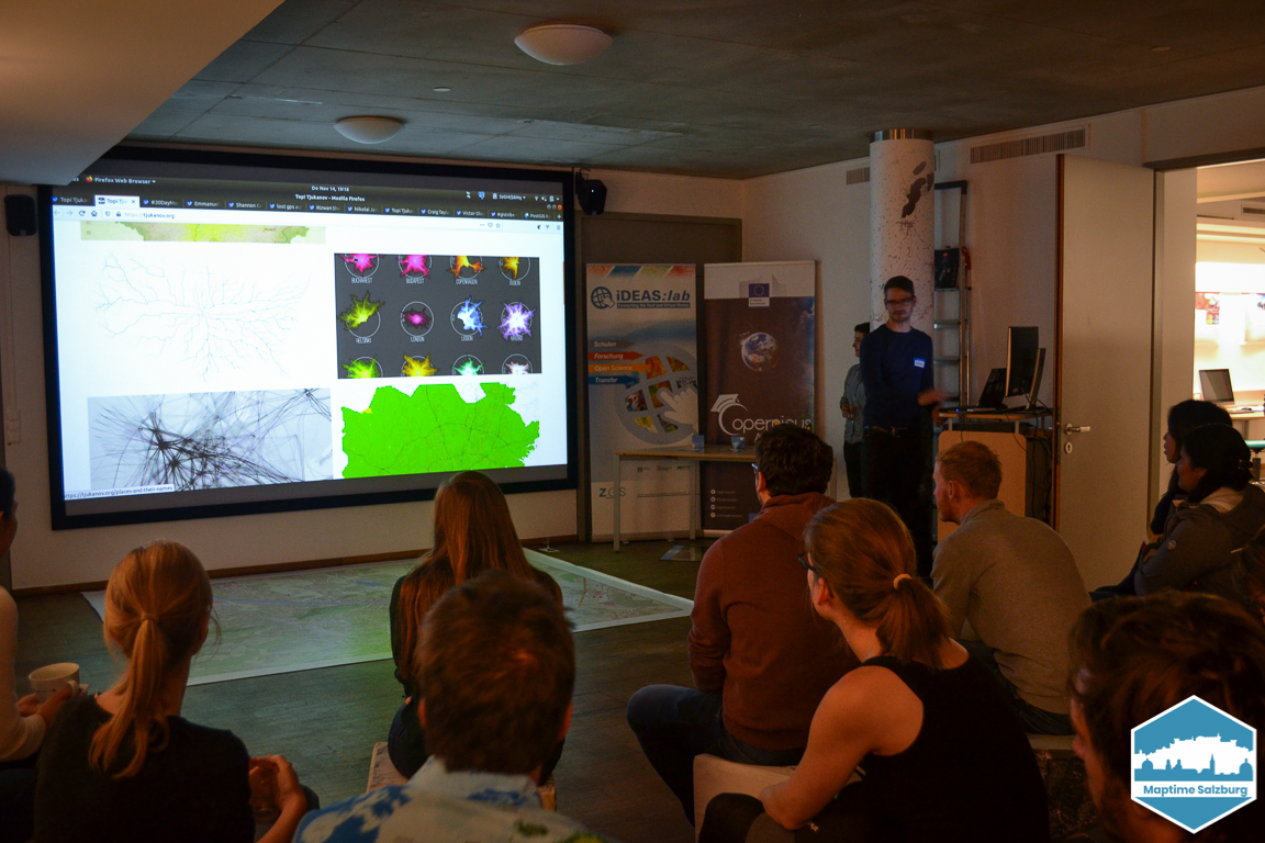
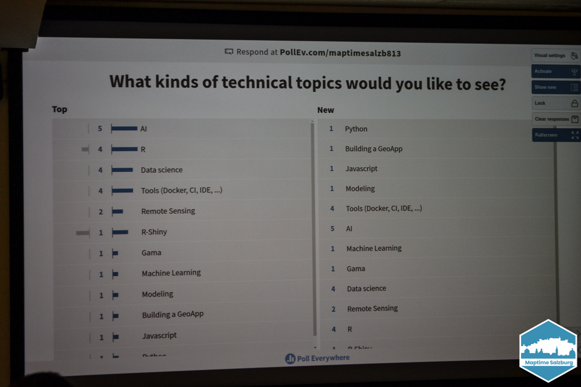
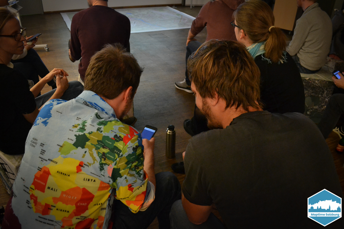
November 2019 - 🏅 Quiz Night 🏆
German 🇦🇹🇨🇭🇩🇪
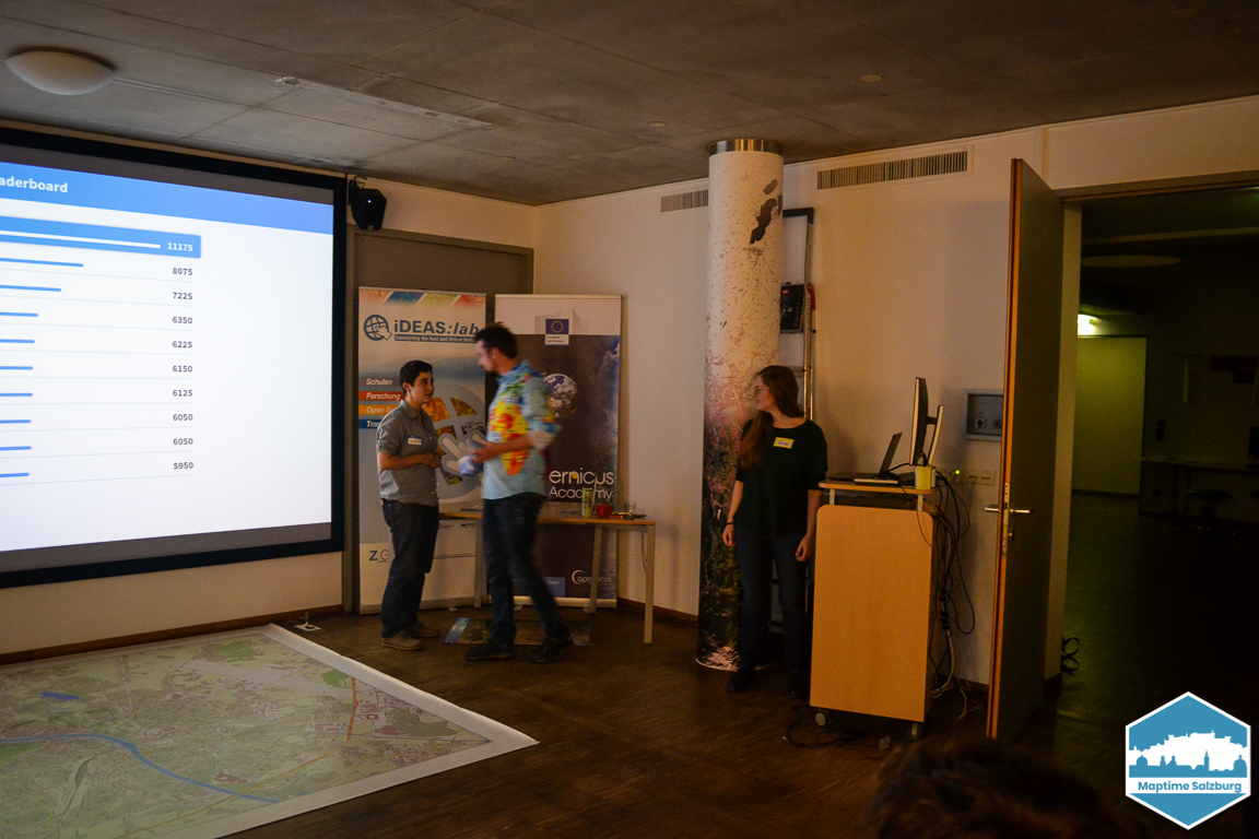
Der Sommer ist entgültig vorbei und Maptime Salzburg fing in die kalte Jahreszeit mit einem gemütlichen Abend an 🍁 Es gab zwei kurze Vorträge über Geo-Trends auf Twitter, nämlich #30DayMapChallenge und #PostGISDay. Zum Abschluss veranstalteten wir ein Geo-Quiz bei dem es tolle Preise zu gewinnen gab 🏆 Den Abend ließen wir bei ein paar Getränken und Knabbereien ausklingen 🍻
Vielen herzlichen Dank an iDEAS:lab und Z_GIS für den Raum um unsere Verantstaltung zu ermöglichen!
English 🌐
Summer is definitely over and Maptime Salzburg started the cold season with a cosy evening 🍁 There were two short talks about geo-trends on Twitter, namely #30DayMapChallenge and #PostGISDay. Finally we held a geo-quiz where great prizes could be won 🏆 We finished the evening with some drinks and snacks 🍻
Special thanks to iDEAS:lab and Z_GIS for the space to make our event possible!
October 2019 - Stammtisch 🍻
German 🇦🇹🇨🇭🇩🇪
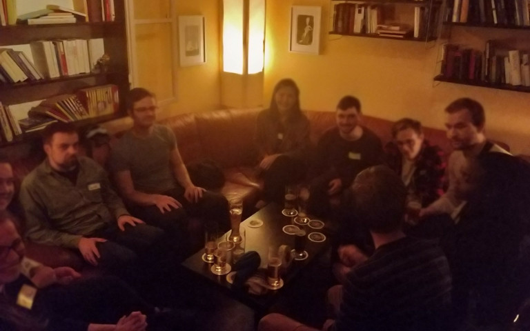
Pünklich zum Beginn des neuen Semesters hatten wir einen geselligen Stammtisch in der Academy Bar. Es sind einige neue Gesichter aus vielen verschiednene Ländern dazugekommen. Wir freuen uns auf das nächste Mal!
English 🌐
Just in time for the new semester we organized a Stammtisch meeting. Some new people from many different countries joined us. We are looking forward the next time!
September 2019 - Mapathon
German 🇦🇹🇨🇭🇩🇪
( English 🌐 version below … )
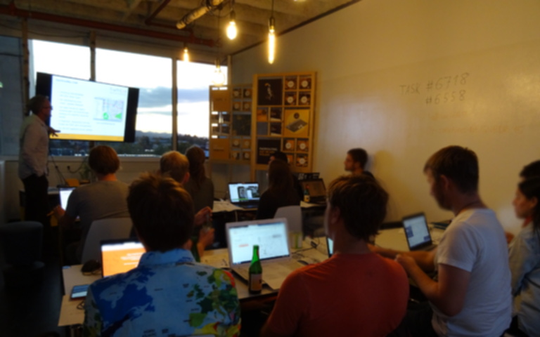
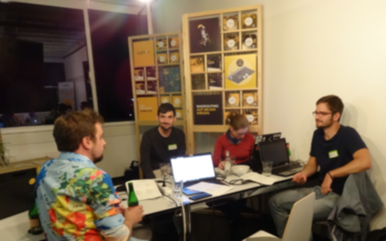
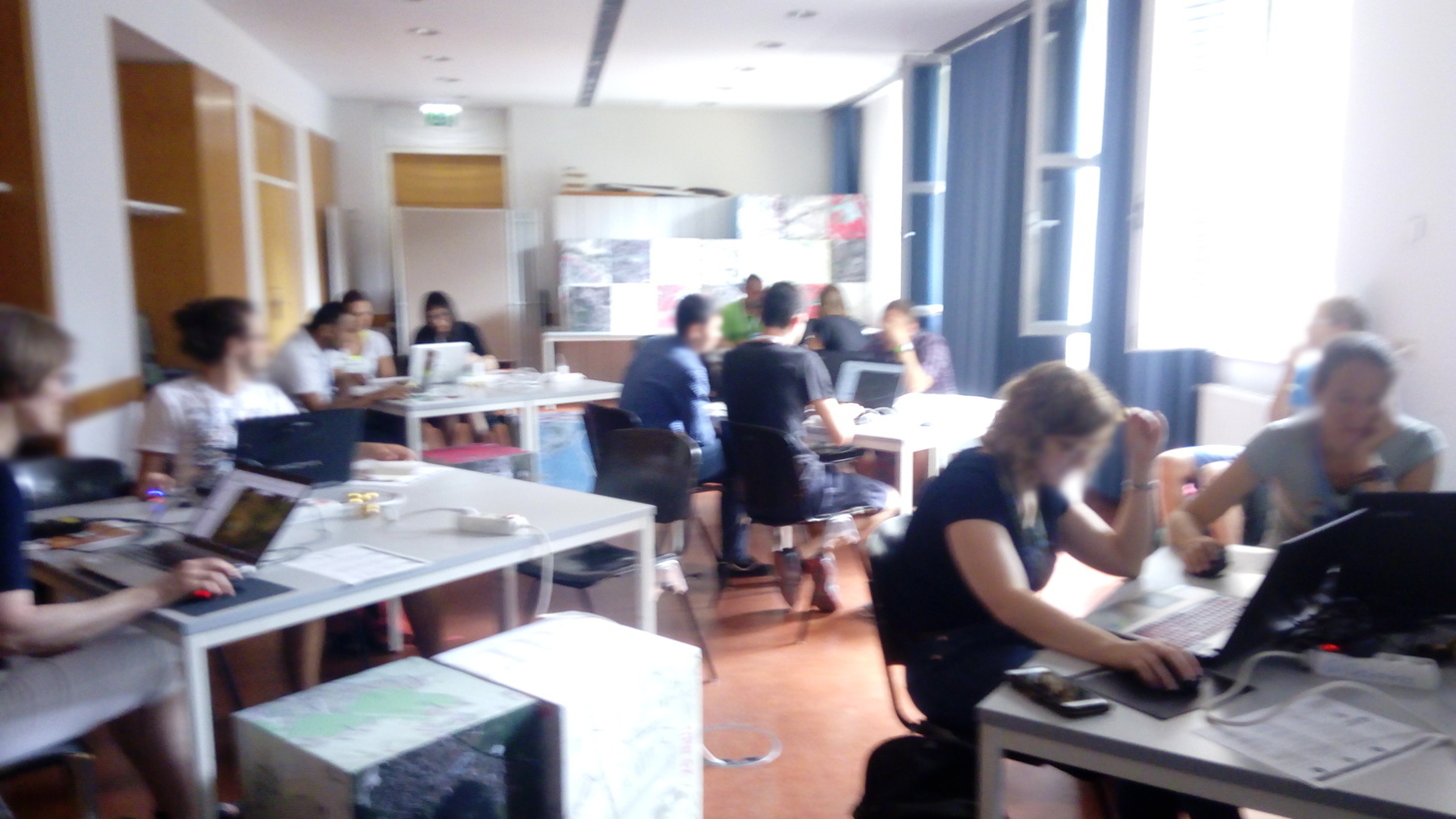
Am 18. September 2019 fand unser dritter Mapathon statt, dieses Mal in den Räumlichkeiten der Firma Trafficon im Stadtwerk Hochhaus. 13 Interessierte kamen zum gemeinsamen Mapping zusammen.
Zum Einstieg präsentierte unser Gastgeber Stefan Krampe einige persönliche Erfahrungen und Eindrücke aus der Frühzeit von OpenStreetMap in der Region Salzburg. Dann gaben wir eine Einführung zum Mapping und einige Hintergrundinfos zur Region. Unsere Kontakte von Ärzte ohne Grenzen in Wien hatten uns Task #6558 in Ouham (Zentralafrikanischen Republik) und den Task #6718 in Bukavu (Demokratischen Republik Kongo) empfohlen. Nach einigem gemütlichen Mapping mit Snacks, Getränken und Musik ließen wir den Abend in der Trumerei ausklingen
Wir danken Ärzte ohne Grenzen (MSF) und unserem Gastgeber Trafficon sowie allen TeilnehmerInnen und hoffen auf eine baldige Wiederholung!

English 🌐
On September 18th 2019 we had our third Maptime Salzburg Mapathon, this time kindly hosted by Trafficon. 13 people gathered for this social mapping event. As an introduction our host Stefan Krampe from Trafficon presented some personal impressions of the early times of OSM in the Salzburg region.
We then gave an introduction to the mapping task and the region of interest, based on information from our contacts from Doctors without Borders in Vienna. We worked on task #6718, an Ebola region in DRC, or alternatively on task #6558 in the Central African Republic. After some happy mapping with snacks, drinks and music we went to the Trumerei 🍻
We would like to thank Doctors without Borders (MSF), our host Trafficon and, of course, all participants for joining, and hope to see them soon again for more social mapping!
July 2019 - AGIT Mapathon
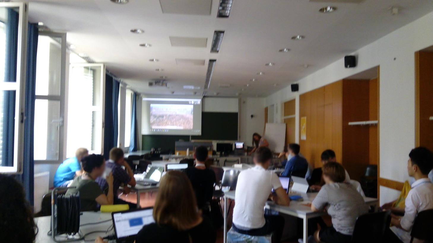
At this year’s AGIT conference we hosted a workshop about humanitarian OpenStreetMap (OSM) mapping. This was conducted together with disastermappers heidelberg. At first we explained how mapping with OSM works, then the around 15 participant could apply it on a task which was provided by MSF (doctors without borders).
In the second part of the workshop we had an open forum with different youth mapping organizations. Maptime Salzburg and disastermappers heidelberg could present themselves in person. We also had remote presentations from Warwick, Como and Teheran which were followed by a lively discussion. We concluded that it would be great that the local groups should be in contact and learn from each other. A common website might be useful. Moreover we had the idea to have a common Mapathon with live video chat. We are looking forward the next steps!
June 2019 - What’s Behind Viral Maps?
On the 26th of June we had a 20 minute talk about viral maps by Dr. Anthony Robinson, Associate Professor at Penn State. His research focuses on cartography, geography, visual analytics and online learning. Afterwards we had a wonderful BBQ with great weather.

(Photo taken by Joseph Strobl)
Overview: It’s now quite possible to create and share a map that is seen by thousands of people around the world with minimal effort. Maps that begin to spread rapidly via social media can be considered examples of viral cartography. In recent research, we have been working in the GeoVISTA Center at Penn State on developing new ways to analyze and understand maps in social media. In this talk I will show some of the progress we’ve made so far in analyzing and visualizing elements of design, dissemination, and disinformation related to viral maps.