Kickoff Meeting OpenStreetMap Hackathon for Baltimore Data Day
Date: June 25 2019
Place: R. House, 301 W 29th St Baltimore MD 21211
Baltimore Data Day (BDD) is a free annual event hosted by the Baltimore Neighborhood Indicators Alliance at the University of Baltimore. This summer will be our 10th year hosting this event which is open to community organizations, non-profits, city agencies, researchers, students, and residents. BDD is a good opportunity to network in the city around topic areas such as transportation, housing, crime, education, quantitative data, and GIS.
The 2019 event will be held on Friday, July 12th at the University of Baltimore. At the event will be hosting a casual afternoon workshop on OpenStreetMap where we can bring together GIS professionals and Baltimore City residents to add community assets to the OSM platform. Our goal is to ensure that all neighborhoods in the city are richly represented. We will have an opportunity at the end of the conference to share with the group all of the kinds of edits and additions made to the map during the day.
This event on June 25th at R. House is for anyone interested in learning how to use and edit OpenStreetMap and to gauge interest in participating in the July BDD event. Feel free to join us, even if you aren’t able to join us for Baltimore Data Day- all additions and edits are good edits, regardless of when they happen!
Agenda for June 25th at R. House:
- Discuss our familiarity levels with OSM
- Explore OSM: Sign up for an account, check out what features are already on the map in Baltimore
- Discuss participation in Baltimore Data Day event
Please bring a laptop & an interested friend!
More info about Baltimore Data Day: https://www.bniajfi.org/data_day OpenStreetMap: https://www.openstreetmap.org Baltimore Neighborhood Indicators Alliance: https://www.bniajfi.org

Baltimore 1896 Open Street Cars WebApp kickoff
Date: June 18 2019
Place: 4709 Harford Rd, 4709 Harford Rd Baltimore MD 21214
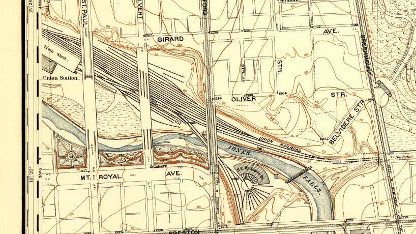
Join us at the Function Coworking Community space in Lauraville to start working on part 1 of our Open Street Cars webapp. We will be digitizing Baltimore’s street car lines circa 1896, into a cloud database. Come and learn how to set up a “free” PostGIS database on Amazon Web Services. Learn how to connect QGIS to the database for editing. Also in QGIS we will georeference scans of historic maps, learn how to digitize the street car lines and points of interest.
If you want to join our hack, please bring your laptop and download the software we will be using: PostgreSQL (version 10.8) https://www.postgresql.org/ https://www.enterprisedb.com/downloads/postgres-postgresql-downloads
QGIS 3.4.8 LTR: https://www.qgis.org/en/site/forusers/download.html
Contact us if you don’t have disk space for this.
At a later date, in part 2 we will learn how to make the street car network routable and display it in a Leaflet webapp.
Location: Function Coworking Community space 4709 Harford Rd Baltimore, MD 21214
It is half a block north of Moravia Ave on the east (right) side of the street, and the 2nd building south of Rosekemp Ave. Open Street Map still has the building as its previous tenant, the American Beauty Academy. It has been completely remodeled and is a very nice space.
Parking: There is ample free street parking at that time of day, the PayToPark meter period ends at 6pm. The closest bus routes are the 54 (Harford) and 28 (Harford at Moravia). Note that the 54 bus approximates the route of the old #19 streetcar.

Spring Mappy Hour at Mt. Vernon Marketplace
Date: May 28 2019
Place: Mount Vernon Marketplace, 520 Park Ave Baltimore MD 21201
It’s been a while since we had a mappy happy hour, so let’s meet up at Mt. Vernon Marketplace and talk about our upcoming historical Open Street Car mapping project, OSM at Baltimore Data Day, and other exciting topics. We’ll probably be in the back of the space and will post signs. See you then!
Summer Event Brainstorming
Date: April 29 2019
Place: R. House , 301 W 29th Street Baltimore MD 21211
Brainstorming session to help plan upcoming events for the next few months. Topics include: QGIS/PostGIS mapping stack for digitizing historical transit features, planning an OSM hack around Baltimore DataDay, YOUR ideas! Come prepared to put ideas into action! Meet at 730 at R House in Remington. We’ll post some signs.
GIS Jam Morgan Center for Advanced Transportation and Infrastructure Engineering
Date: April 09 2019
Place: Morgan State University - CBEIS Building, 5201 Perring Pkwy Baltimore MD 21214
We will be meeting in the Center for the Build Environment and Infrastructure Studies (CBEIS) building at 5201 Perring Parkway, Room 257.
Join us for a GIS Lab session, demonstration, and talks at the Morgan State University Center for Advanced Transportation and Infrastructure Engineering (CATIER) lab in the Institute of Urban Research: https://www.morgan.edu/iur
There is a visitor parking lot on Perring Parkway- the CE Lot- and it is located next to the CBEIS building on Perring. There is a $0.50/hour charge to park. DO NOT park in the garage, it is impossible to get out without a student ID (ask Cheryl K. about the time she got trapped!). Street parking may be available but read the signs to ensure you are not ticketed.
Campus Map: https://map.morgan.edu/
Agenda: 1.) Round Robin Introductions 2.) GIS @ Morgan 3.) “Geocoding Historical Census Micro-data: Challenges and Opportunities from Pittsburgh, 1880” 4) Mt. Auburn Cemetery Project 5.) Show and Tell 6.) Networking