Web Map Cartography with Mapbox Studio
| When | September, 27 2016, from 5:30-7:30 PM |
| Where | Hamburg Hall (HBH 2003) @ Carnegie Mellon University, with Students for Urban Data Systems (SUDS) Data User Group |
| Contact | @MaptimePGH, pittsburgh@maptime.io |
| Thanks | SUDS and Code for Pittsburgh (formerly OpenPGH) |
Join MaptimePGH and the Carnegie Mellon Students for Urban Data Systems (SUDS) group to learn about designing custom web map cartography using Mapbox Studio.

Mapbox Studio is a modern platform for managing your spatial data and designing custom map styles. Use Mapbox Studio to build and design a map to your exact specifications by uploading and editing custom data, utilizing Mapbox-provided tilesets, uploading your own vector or raster data, adding custom fonts and images, or simply refining the built-in template map styles. With Mapbox Studio, full data management and design control are at your fingertips. (from mapbox.com/help/getting-started-mapbox-studio-1/)
^ Well, that may sound a little intimidating if you’ve never made a map before. Have no fear: we’ll show you how easy it is to make a custom map of the entire world.
In this session we’ll cover basic web maps lingo and then lead you through the creation of your own global web base map:
- a very brief overview of maps on the www
- base data sources
- adding layers
- styling layers
- sharing your custom base map and using it for projects
You’ll need to sign up for a free Mapbox account (we will walk through that, too).
New to Maptime? New to mapping? Maptime is geared for beginners, and the session will be interactive so that you have plenty of opportunities to learn!
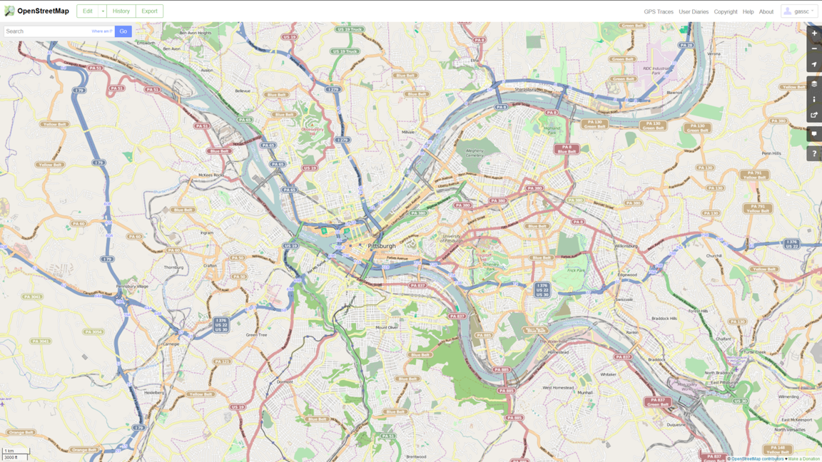
Everything OpenStreetMap
| When | July, 6 2016, from 6-8 PM |
| Where | Carnegie Library of Pittsburgh, Lawrenceville |
| Contact | @MaptimePGH, pittsburgh@maptime.io |
| Thanks | Carnegie Library of Pittsburgh, and OpenPGH |
Join us to learn about OpenStreetMap - the free and editable map of the world - and make your first edit. We’ll meet at the Lawrenceville library for a quick introduction to the OpenStreetMap project, community, and editing tools. Then we’ll split into groups and contribute to an improved map of Pittsburgh. Want to enjoy the summer sunshine? Map Lawrenceville using an app or pen and paper. Want to relax with AC & wifi? Dig into OpenStreetMap editing tools and help us plan for larger-scale imports. Either way, you’ll be creating open geographic data for mapmakers everywhere while enjoying pizza from our friends at CartoDB.
Our tentative agenda for the evening is as follows:
6:00 - Welcome, pizza
6:15 - Intro to OpenStreetMap
6:30 - Ways to edit OpenStreetMap
- ID Editor - the easiest way to get started
- Field Papers - allows you to use pen & paper to take notes outdoors, and then load back onto OSM
- Mobile apps - allows for outdoor mapping focused on POIs using a smartphone/tablet
6:45 - Break into three groups to map
- Map Lawrenceville community assets (outdoors)
- Map Pittsburgh building footprints (indoors)
- Do your own thing!
- Work through the ID tutorial
- Participate in Missing Maps
- Download data from OSM to use in your projects
7:45 - Debrief
- What was fun? hard? surprising?
- What do you want future Maptimes to cover, OSM or otherwise?
New to Maptime? New to mapping? *Maptime is geared for beginners, and the session will be interactive so that you have plenty of opportunities to learn!**
MapWarper
| When | April, 27 2016, from 6-8 PM |
| Where | Carnegie Library of Pittsburgh, East Liberty |
| Contact | @MaptimePGH, pittsburgh@maptime.io |
| Thanks | Carnegie Library of Pittsburgh and OpenPGH |
In this session we’ll do a walkthrough of MapWarper, an excellent online tool for georeferencing images of maps.
Georeferencing is the process of giving non-geographic data the geographic attributes it needs to be shown on a digital map. With MapWarper, we’ll show how to take maps that are only stored as images (e.g., scans of historic maps), place them in the correct virtual geographic context, and view them online.
We’ll then turn everyone loose on the University of Pittsburgh’s excellent digital historic maps collection, which includes many amazing but un-georeferenced historic maps of Pittsburgh.
See this “urban scratch-off map” for an example of a fun way to interact with georeferenced historic maps. With a good inventory of georeferenced historic local maps, we can work with OpenPGH to build something similar here!
New to Maptime? New to mapping? *Maptime is geared for beginners, and the session will be interactive so that you have plenty of opportunities to learn!**
SUDS Maptime Debrief
We had a great Maptime session at CMU last night, sponsored by SUDS and OpenPGH.
.@MaptimePgh @sudscmu @GassChristianB yay! #Maptime is back! pic.twitter.com/CrZPxrWzLC
— Regional Data Center (@wprdc) March 30, 2016
The real event is chatting after the workshop. #mapnerds @SUDScmu @wprdc @MaptimePGH pic.twitter.com/K7sD4DrOi8
— Lauren Renaud (@RenRidesCycles) March 30, 2016
The slide deck is available at maptime.io/pittsburgh/presentations/2016-03-30-cartodb.
Huge thanks to MaptimeDC for pulling together a killer CartoDB tutorial wiki, which I used for creating the slide deck.
MaptimePGH with the Students for Urban Data Systems (SUDS) Data User Group
| When | March 30, 2016 - 5:30 PM |
| Where | Wean Hall @ Carnegie Mellon University, Room 4623 |
| Contact | @MaptimePGH, pittsburgh@maptime.io |
| Thanks | SUDS and OpenPGH |
Wean Hall is the large concrete building just off the southern ‘Mall’ of CMU’s campus:

In this session we’ll provide an introduction to the basic geographic, cartographic, and geographic information systems (GIS) concepts essential to working with data in digital mapping and web maps. These concepts will be explained within the context of working with Open Street Map (OSM) and FOSS-geo tools like QGIS, Mapbox, CartoDB, and Leaflet. We’ll then work through an example using WPRDC data and an off-the-shelf web mapping platform (TBD).
New to Maptime? New to mapping? Maptime is geared for beginners, and the session will be interactive so that you have plenty of opportunities to learn!